Highlights of the Road South: Methven to Omarama
In traveling from Christchurch to Lindis Pass (gateway to Wanaka, Queenstown, and many of the activities most tourists come to experience), I discovered some lovely places on, and off, the beaten path.
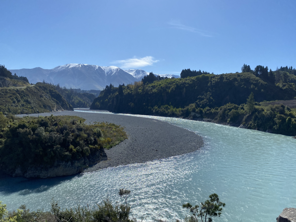
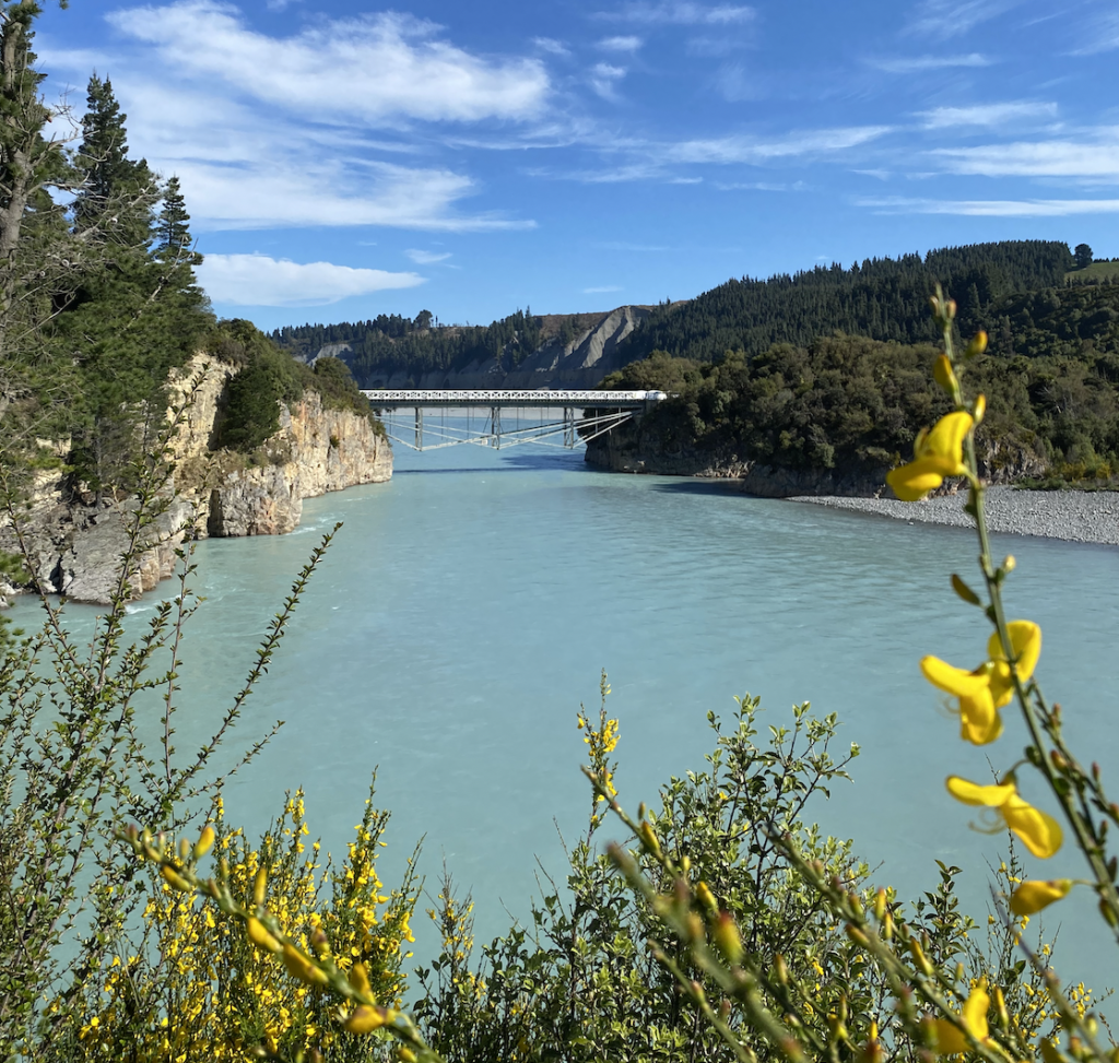
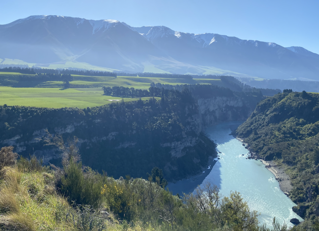
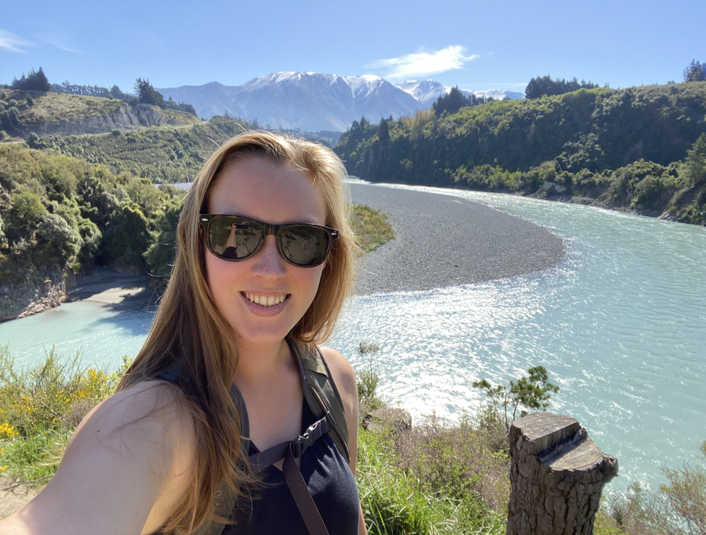
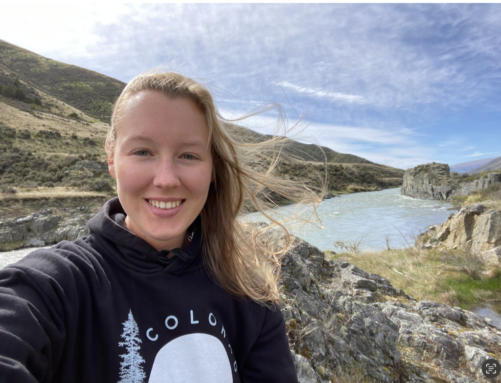
Rakaia Gorge
The Rakaia Gorge, outside the small farming and ski town of Methven, is my first experience with glacial melt-water, which is what gives the water this Gatorade Blue color. Mt Hutt, in the background, seems so tiny in the photos, but it looms, snowy and bulky, in the distance the entire time. Despite the snow and the chilly water, this is one of the first times I actually get to wear shorts in New Zealand. And, because I only have 3.5 hours until nightfall and the hike supposedly takes 4 hours, I turn on the turbo engines and I’m a sweaty mess at the end. But beautiful scenery!
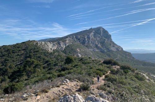
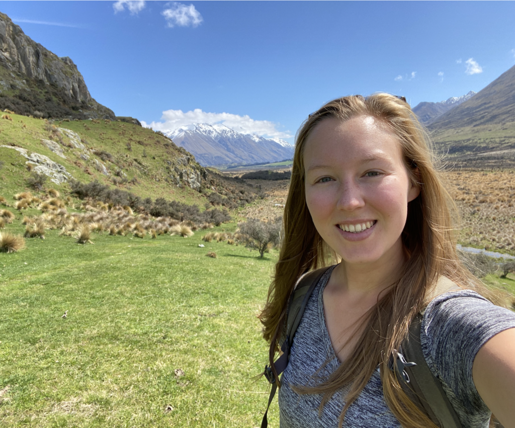
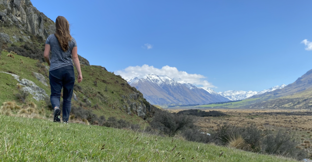
Mount Sunday
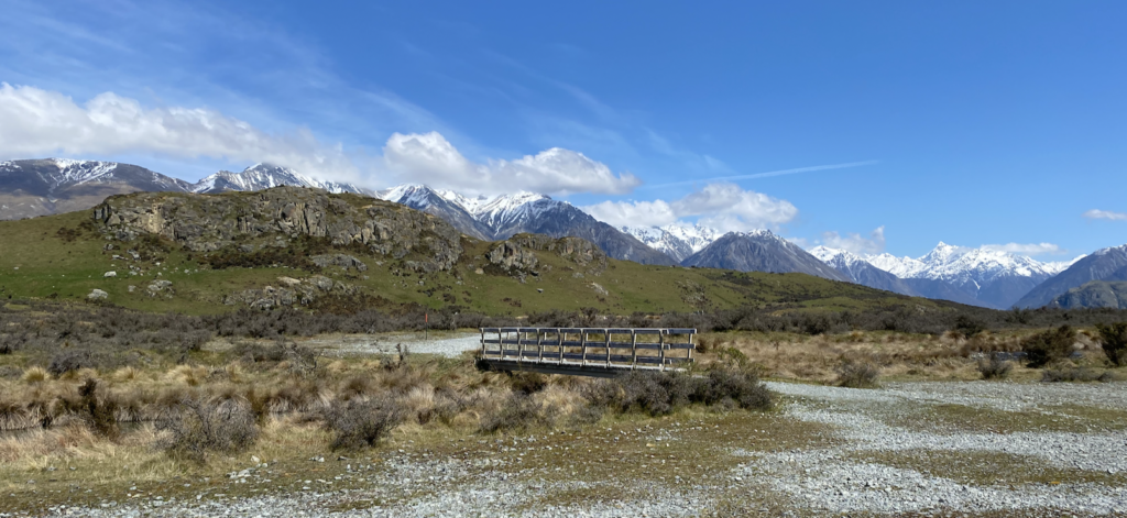
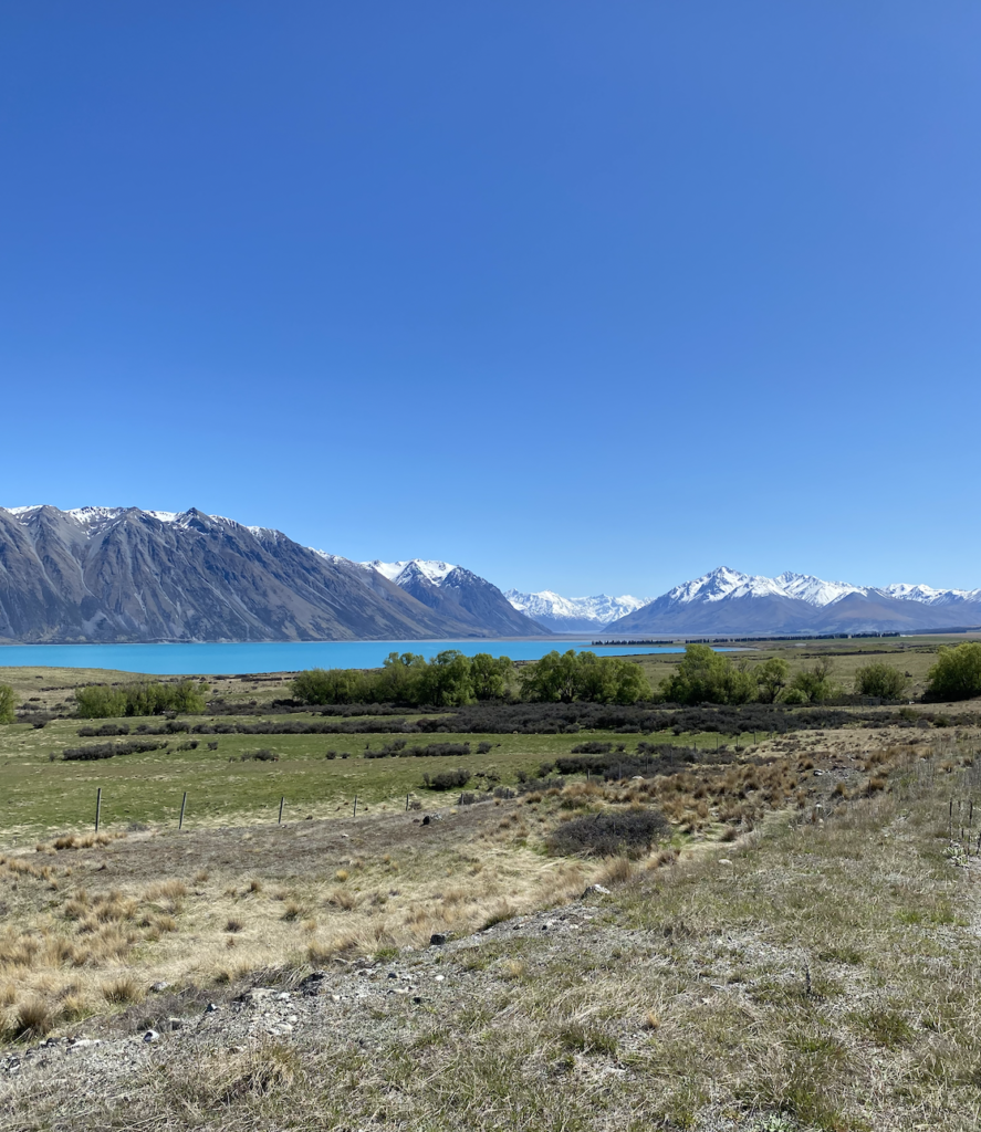
Mount Sunday is way back in the Hakatere Conservation Park, which means about an hour of driving on gravel roads. I endure the bumpy route first because Mount Sunday is a Lord of the Rings filming location, but soon it’s because the clouds have lifted and the mountains cradling the road are breathtaking.
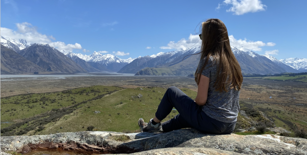
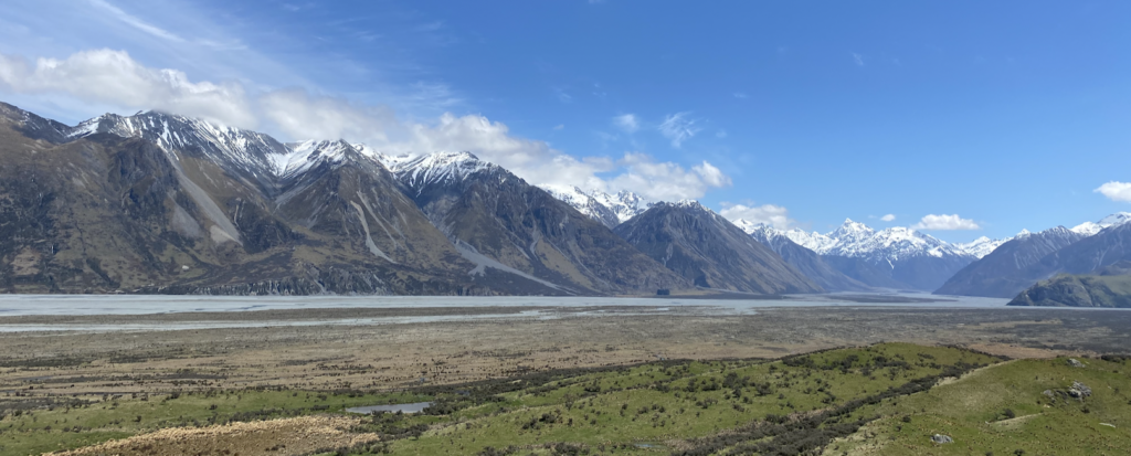
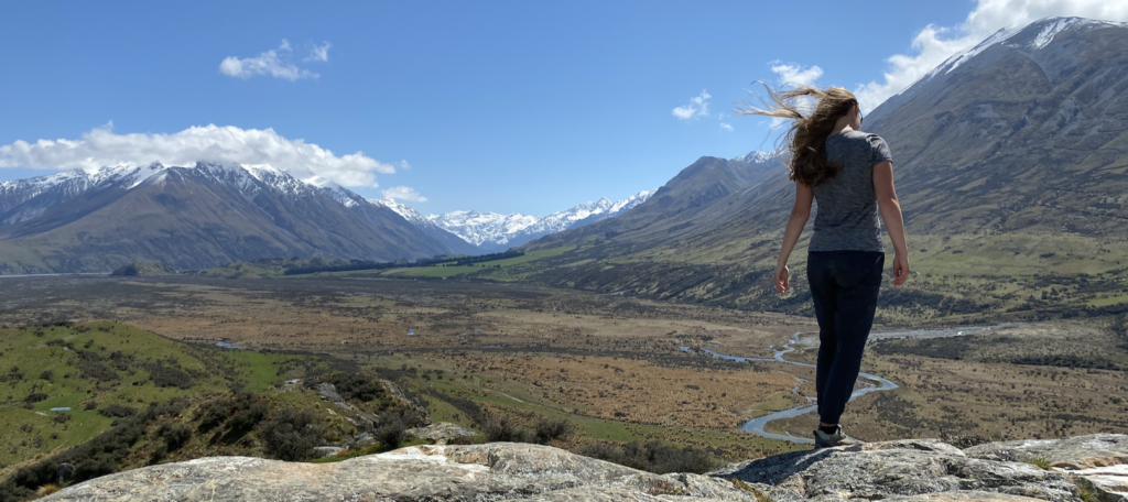
Then I see Mount Sunday itself, at the terminus of a glacier-carved valley (and itself a result of that glacier) and the valley, the river, the framing snowy mountains–it’s all a million times more beautiful than I can remember from the films.
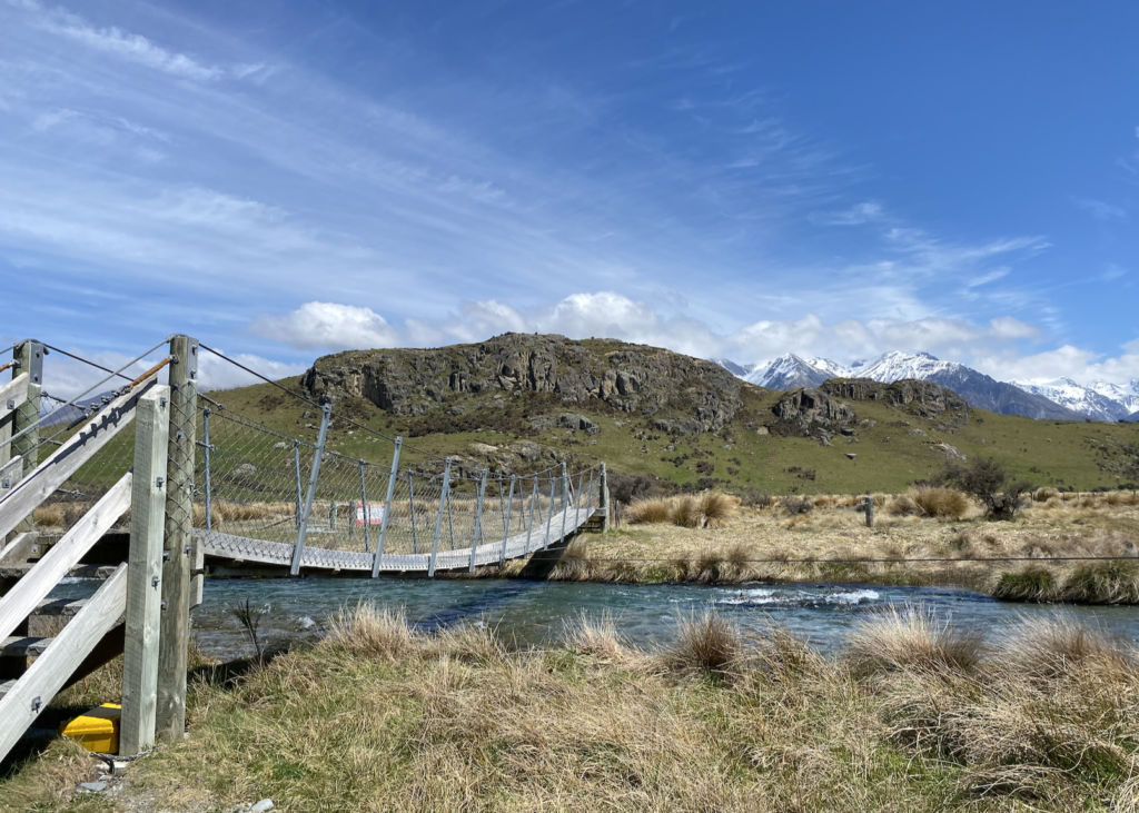
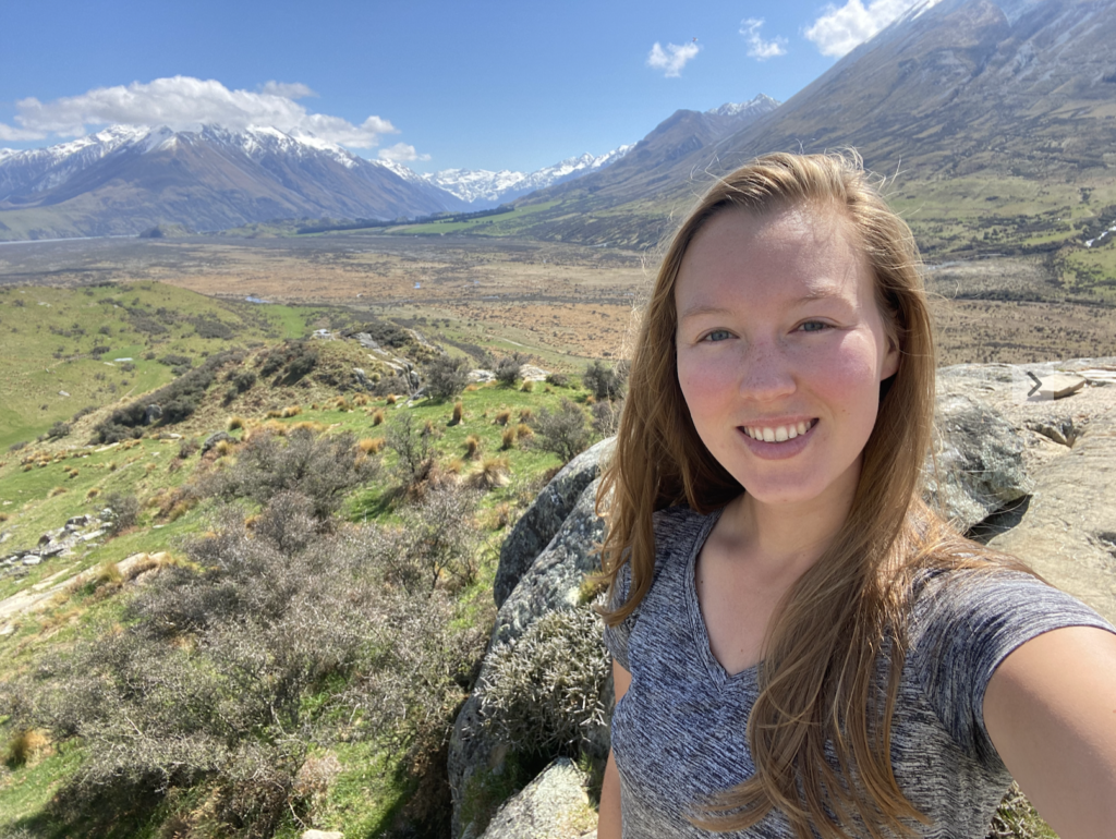
Edoras, the capital of Rohan, was constructed atop Mount Sunday and the crew spent a while filming here, sometimes in 160 km winds (according to the internet)! The track crosses a river and then climbs up Mount Sunday. It’s so tiny compared to the surrounding peaks and I’m atop it easily. All I can think of, as I climb, is Aragorn riding his horse up the slope. Then, atop the mountain, with the breeze blowing, I see Eowyn in her white dress, the wind tugging at her blonde hair–the image of noble despair.
Regarding real history, Mount Sunday got it’s name because boundary riders (who maintained the outside fences or boundaries for the high-country stations in the area) would meet at the tiny mount on Sundays. I don’t know why they met, and the DOC website doesn’t say, but presumably they came just for company.
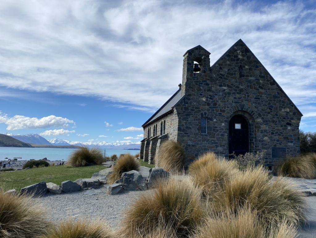
Tekapo
Tekapo is a tourist town. That’s pretty clear when I drive into town and there’s nothing but a gift shop, and few restaurants, and a plethora of accommodation options. But it’s a beautiful tourist town!
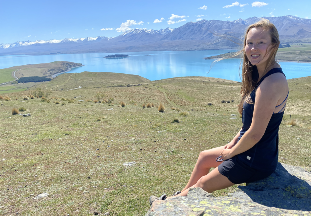
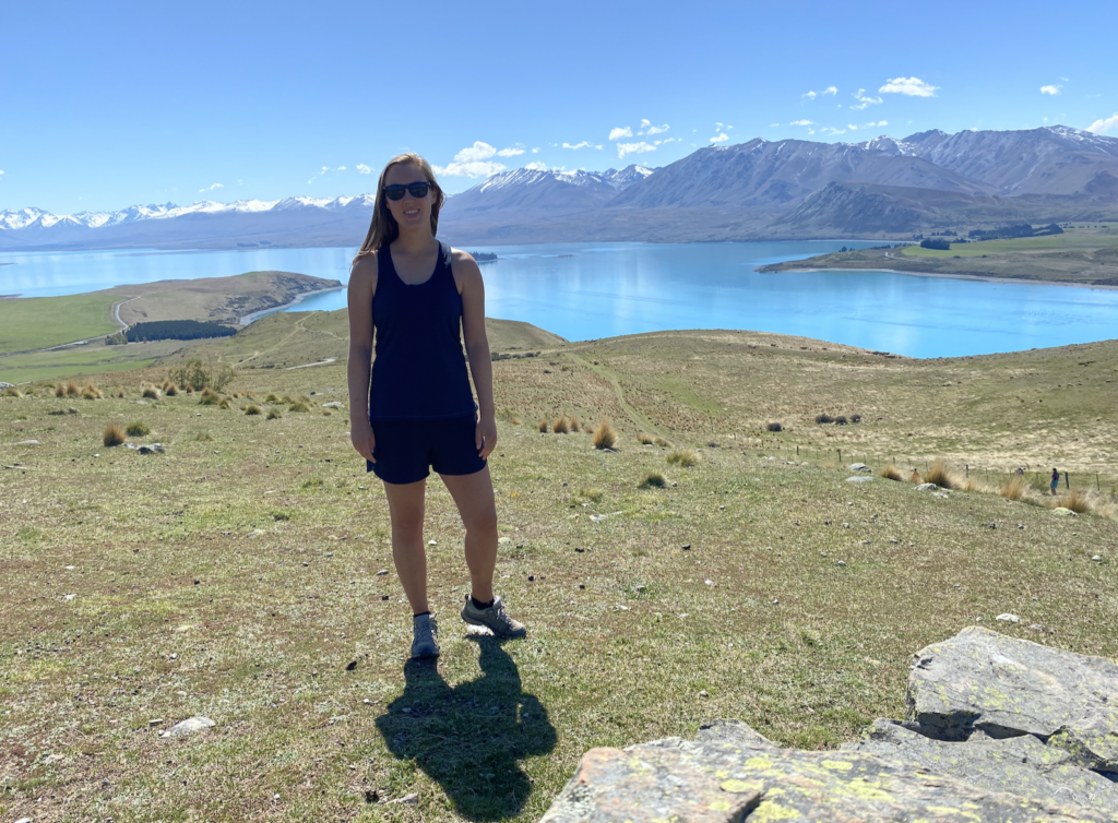
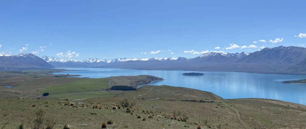
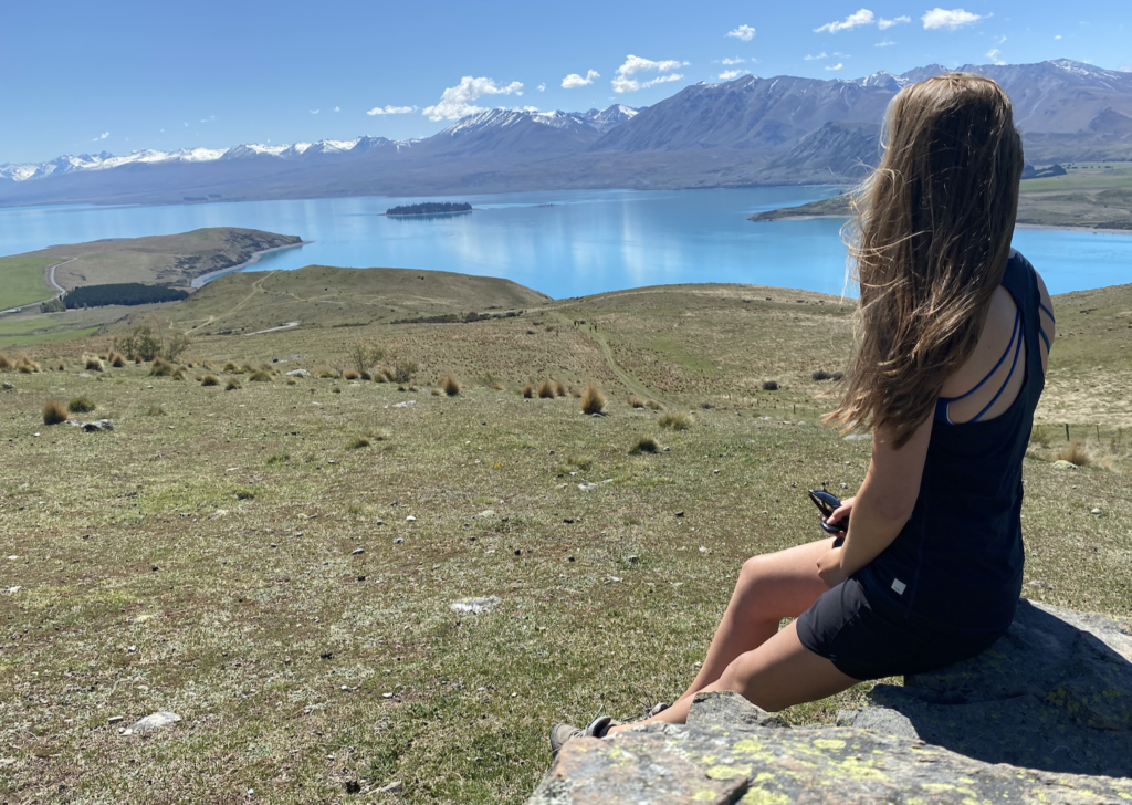
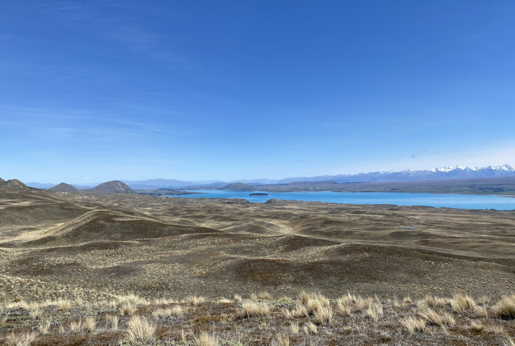
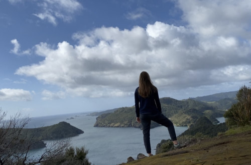
Mount John Track
While you can drive to the top of Mount John (and visit the cafe and observatory), it costs money and I’m more inclined to hike than drive anyway. It’s a steady climb to the top of the short mountain (similar to Mount Sunday), but the deep blue of Lake Tekapo is so much brighter from above. And it’s another beautiful day–shorts weather!

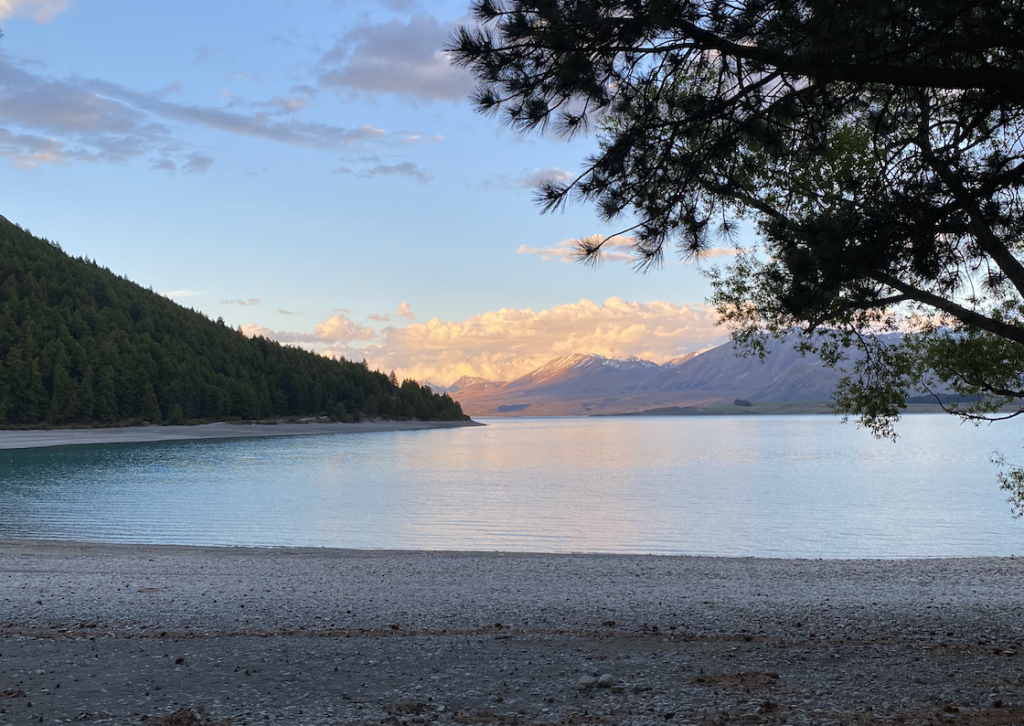
Lake Tekapo
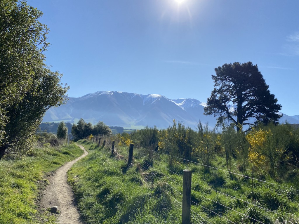
Richmond Track
I was feeling a little bit blue in Tekapo (and that’s not a pun for the water) because there didn’t seem to be that much to do. I did the Mount John Track, I bought a discounted pass to Tekapo Springs for the next day, and I already walked through town…
In September, I went over my monthly budget, so I am trying to do better in October (and perhaps even come in under budget to make up for it). That means I’m not about to pay big bucks for a scenic flight or even fork over the two hundred dollars for a horse ride. Most people who stay in Tekapo take a day trip to Mount Cook, but I’m headed there next to stay for three nights, so I don’t need to go now.
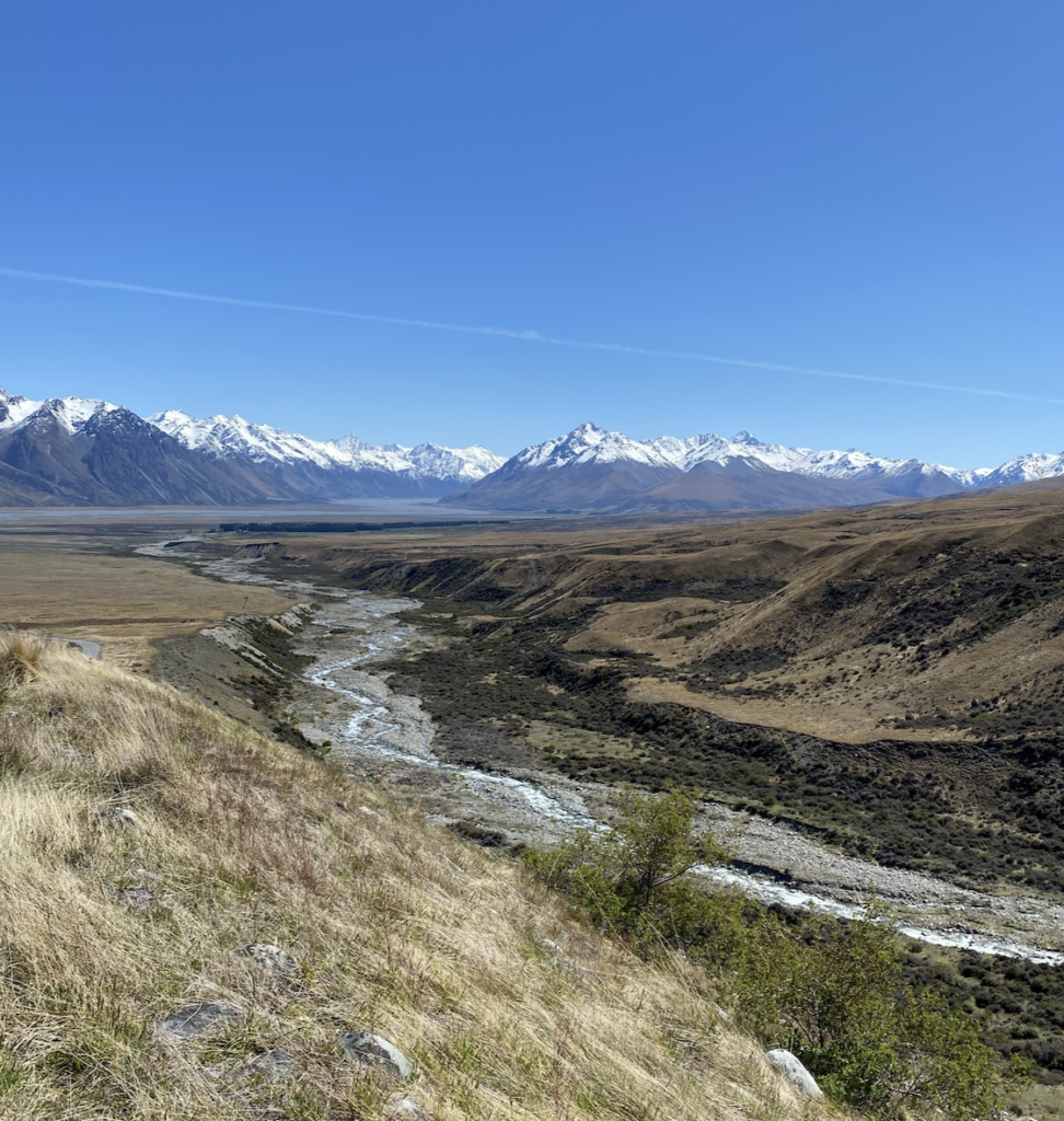
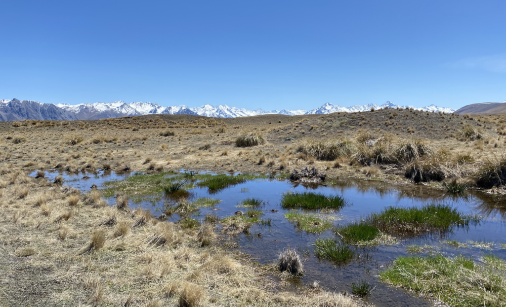
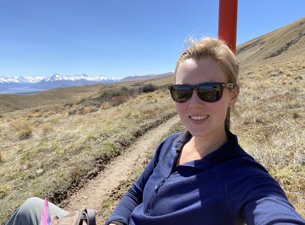
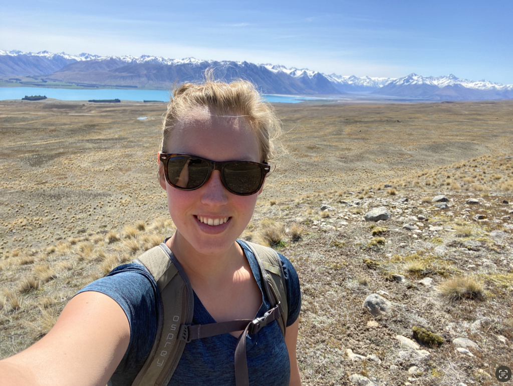
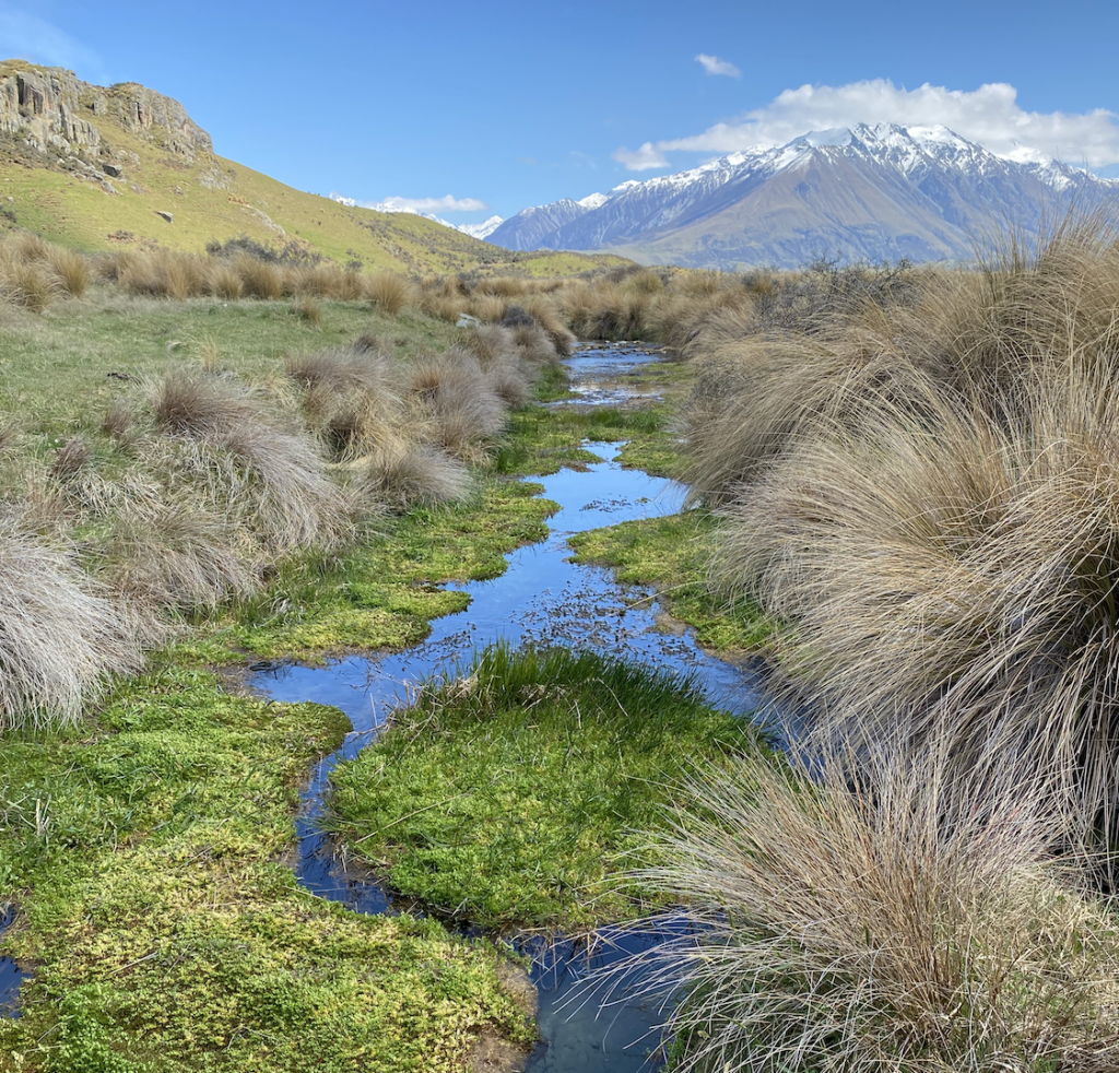
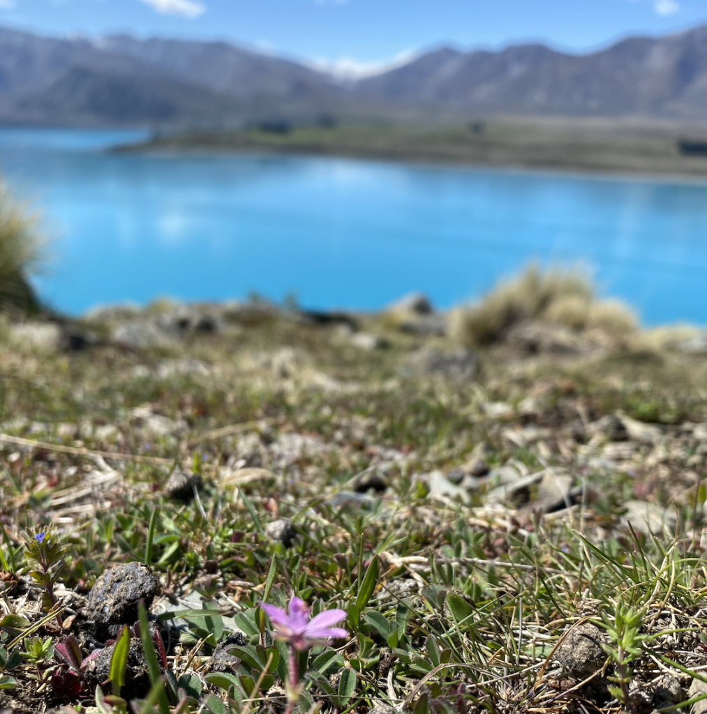
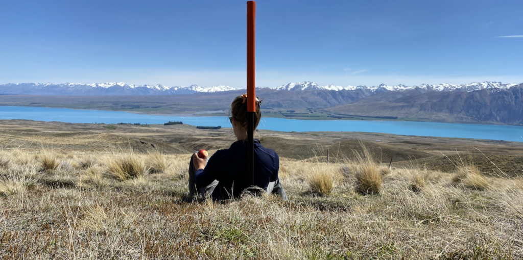
So I delve deep into the internet and find the Richmond Track. It’s on the opposite side of Lake Tekapo from Mount John, and it starts with walking three kilometers up the road to Roundhill Ski Area. That part isn’t inspiring, but as soon as I turn onto the real track, I’m high above the lake with perfect views of the snowy mountains. The track follows an old glacial terrace that lines that valley and is tussock-tufted and threaded with little creaks and pools. Something about it–perhaps the vast valley and the water scattered across the terrace and the complete lack of people–really boosted my spirits. I felt like an explorer!
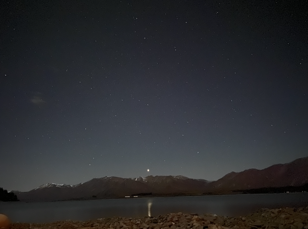
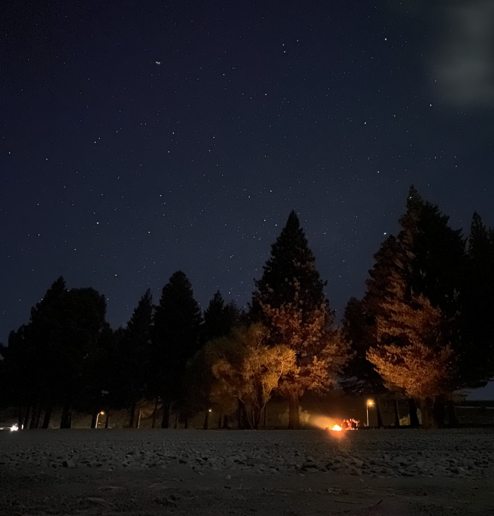
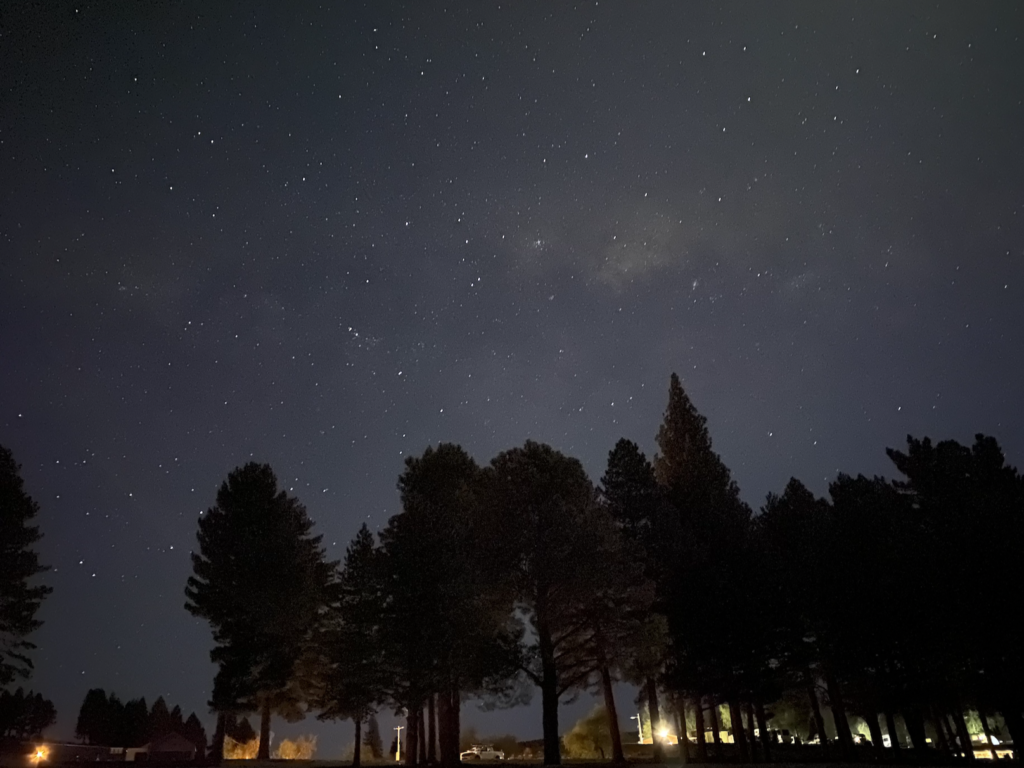
Stargazing
The moon is full and bright, so I’m not blown away by the number of stars I can see. It’s similar to the starry array I can see from the deck of the cabin. However, Tekapo is a dark sky reserve, so it’s renowned for it’s stargazing. Perhaps if I am willing to get up around 1 or 2 in the morning, I might get the full Tekapo night sky experience. But I am very happy in my bed!
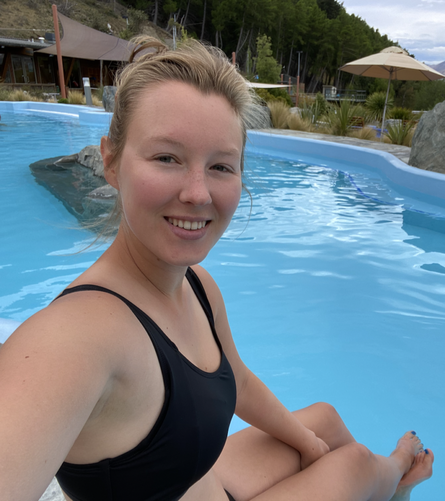
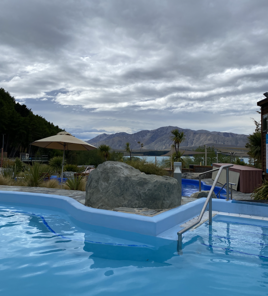
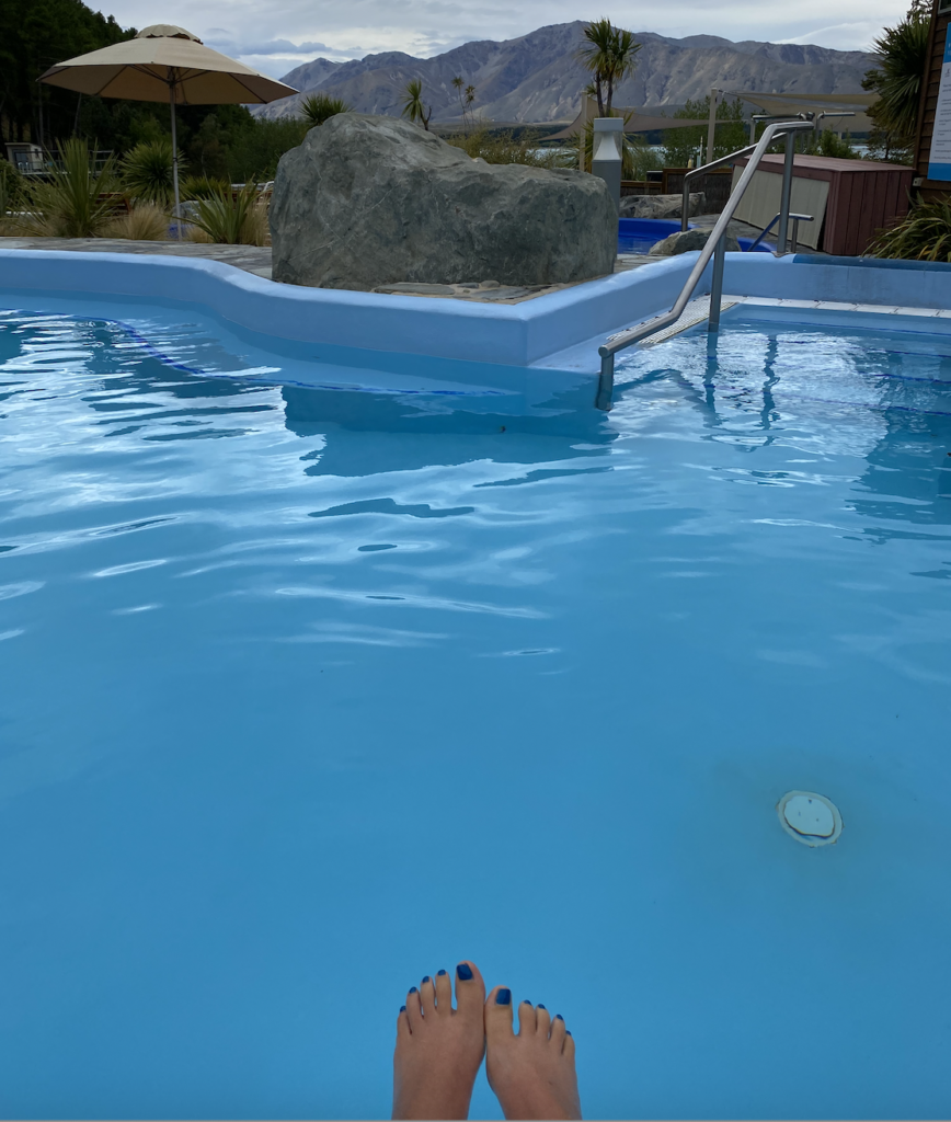
Tekapo Springs
I thought Tekapo had natural hot springs, but it’s actually lake water heated with solar panels. Doesn’t change how nice and relaxing it was on a cool, overcast day.
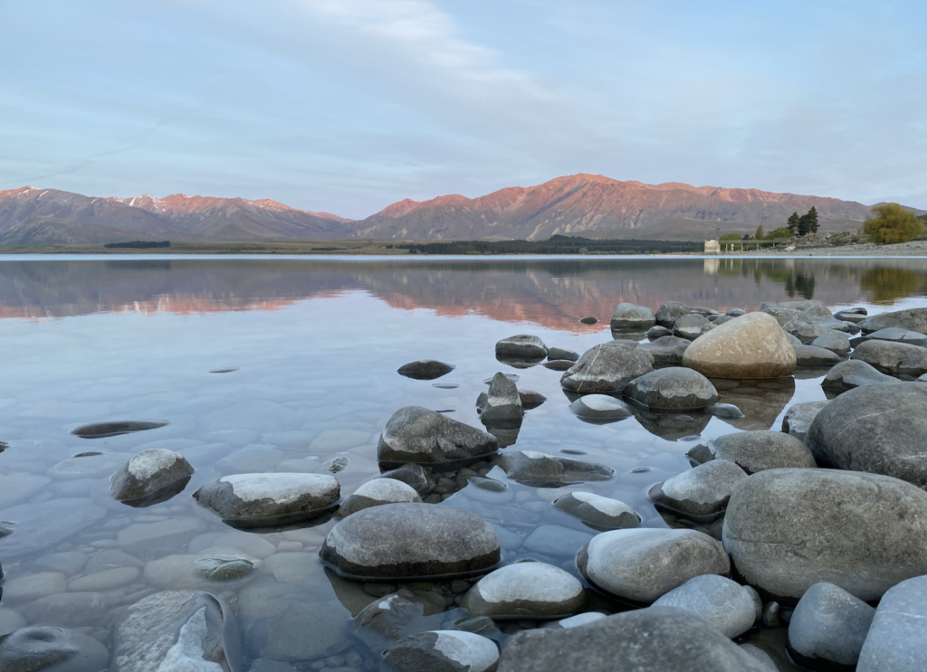
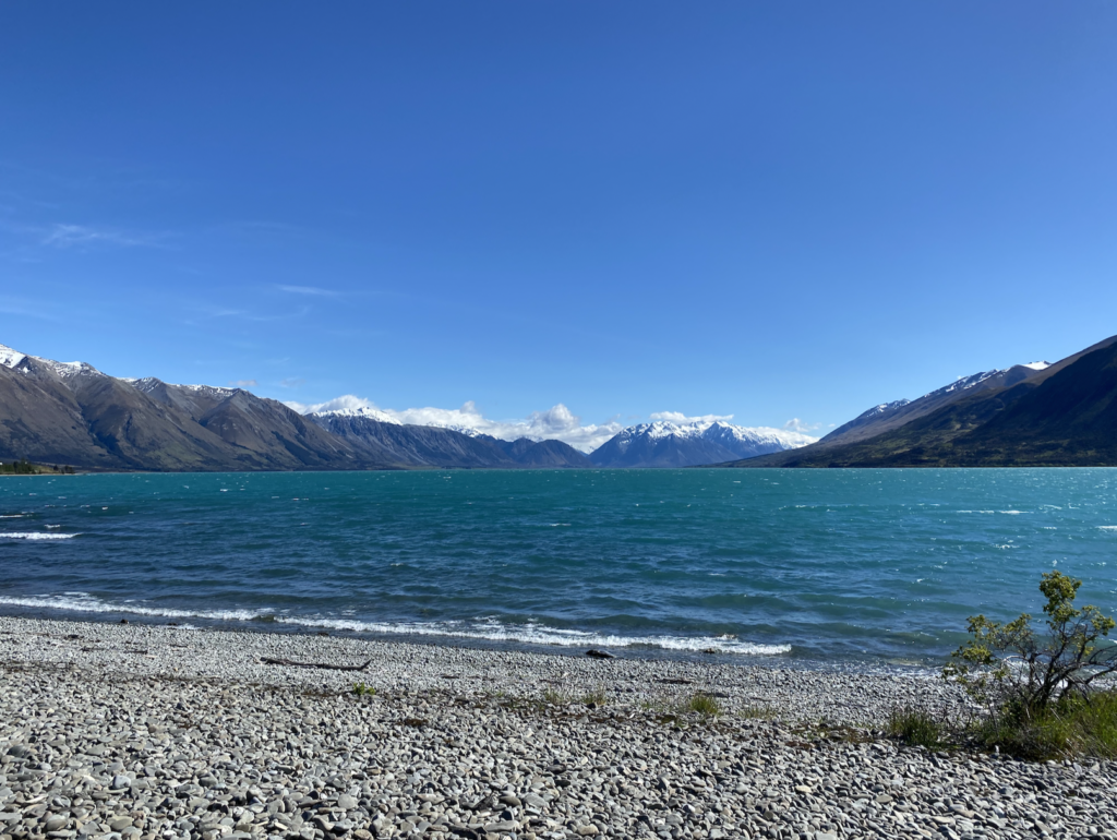
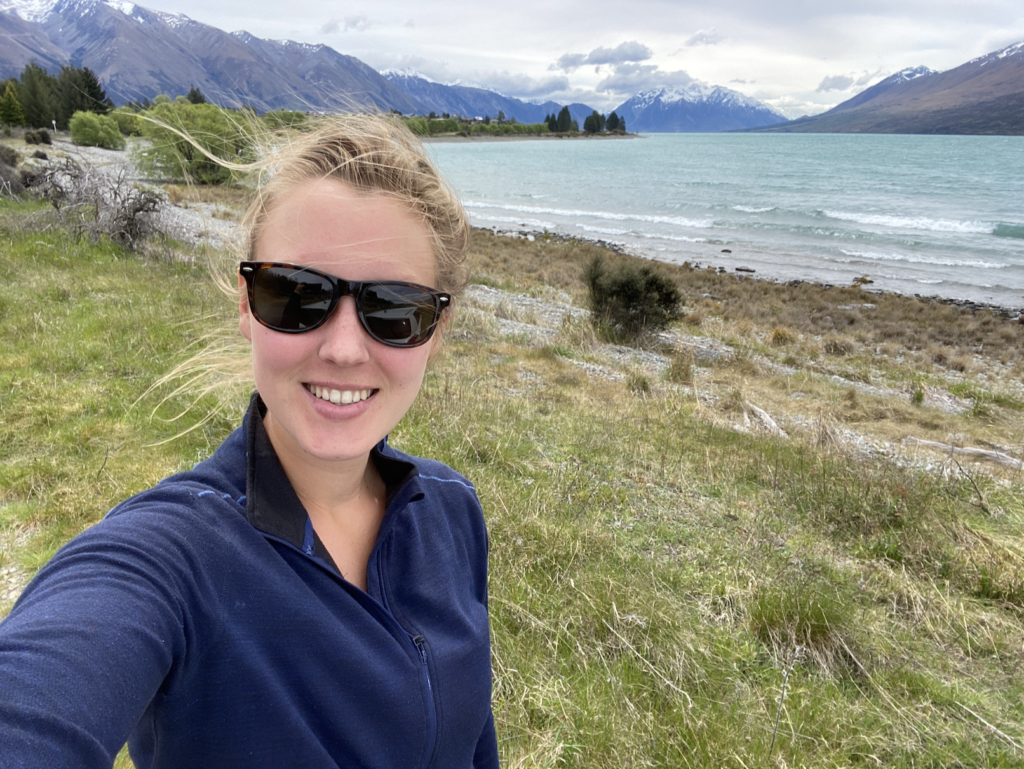
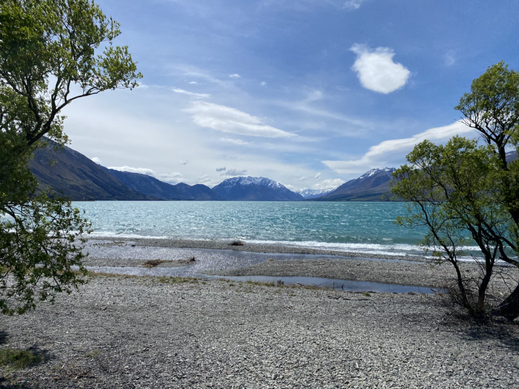
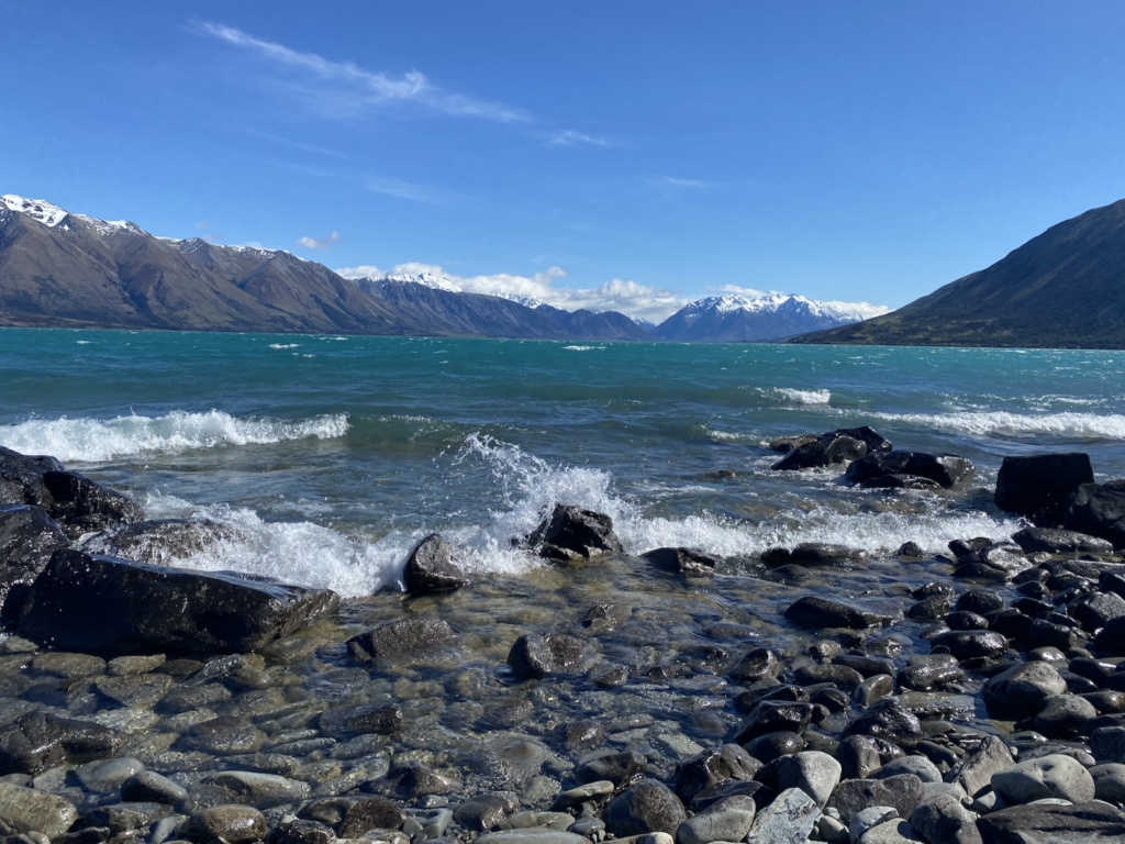
Lake Ohau
Lake Tekapo, Lake Pukaki, and Lake Ohau are the three vivid blue glacial lakes in the Mackenzie region. I decide to walk part of the edge of Lake Ohau on a really windy day–the waves crashing up onto the stony shore felt big enough to be ocean waves!

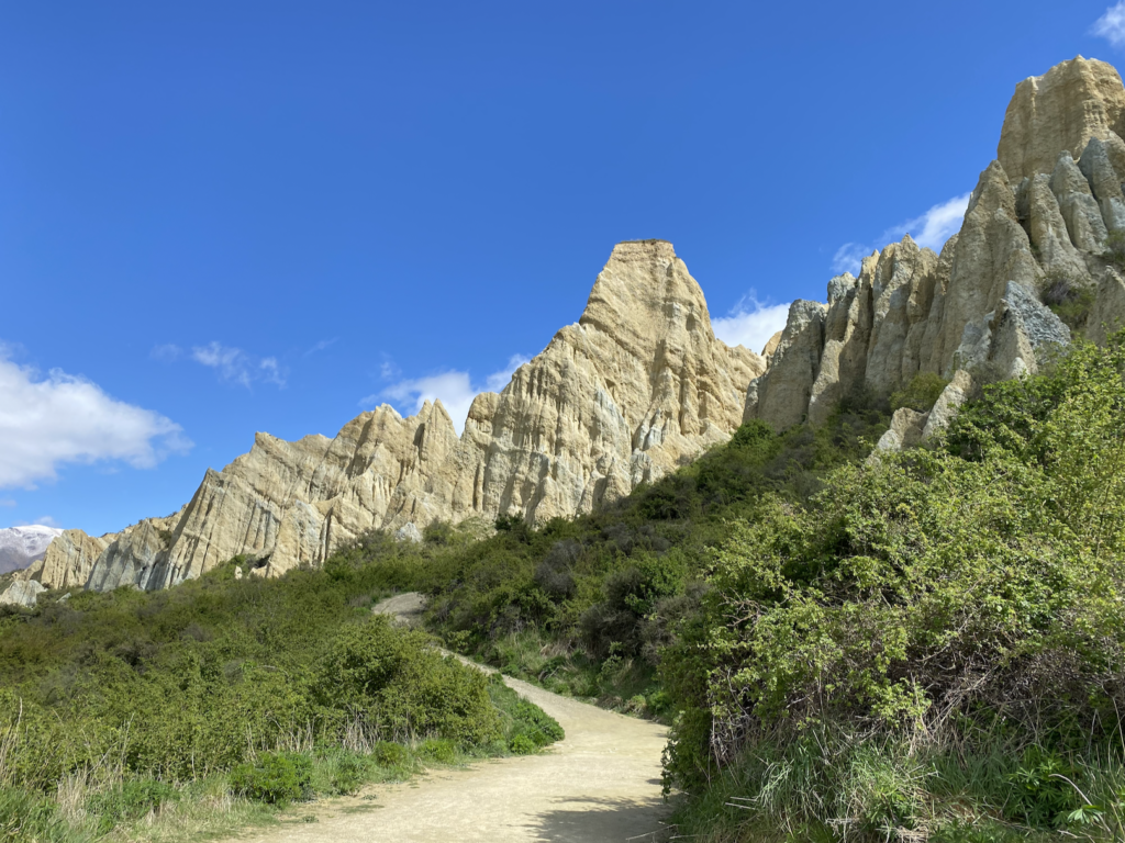
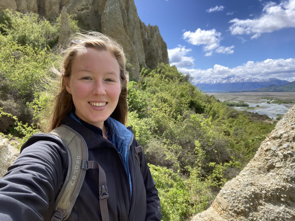
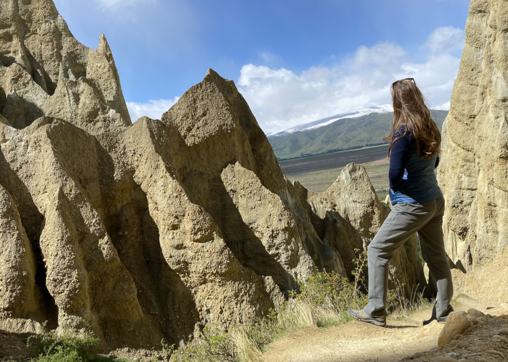
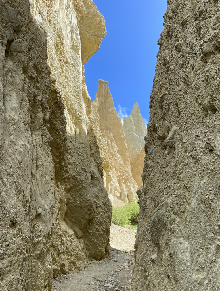
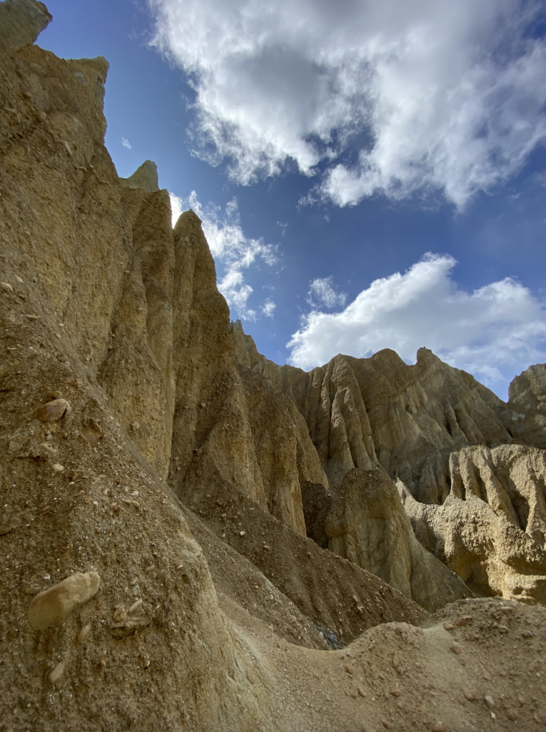
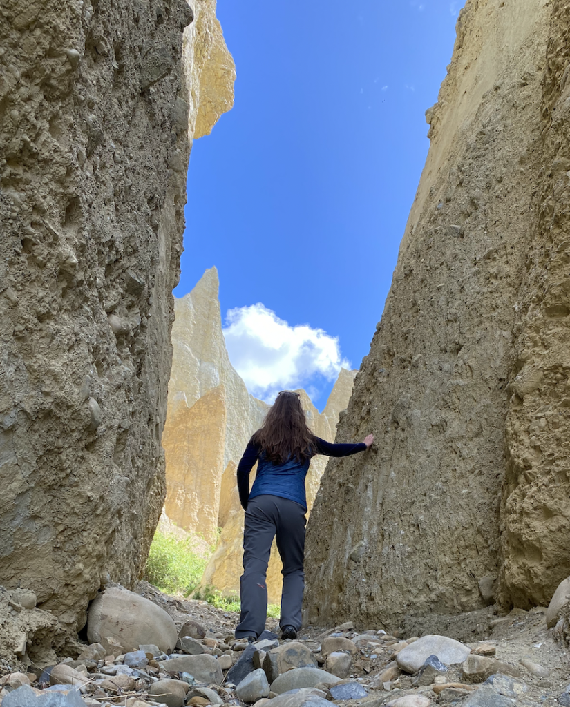
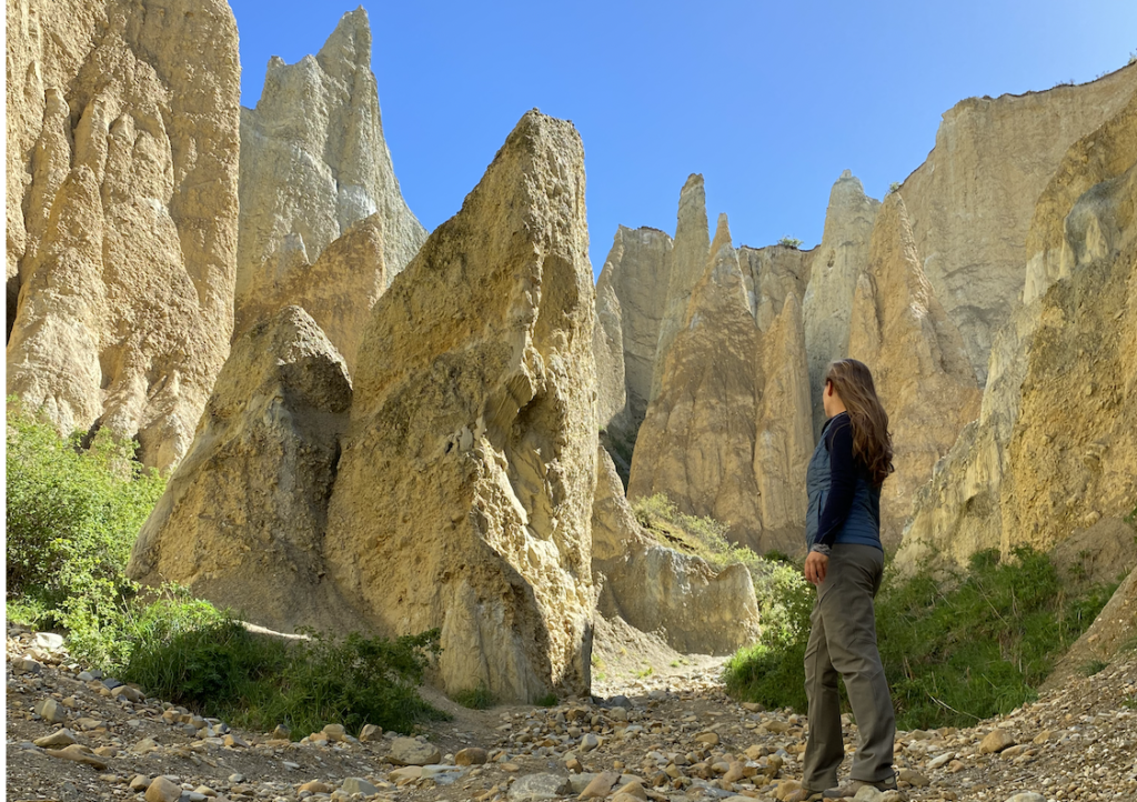
Clay Cliffs
The Clay Cliffs are just before the town of Omarama and it feels like a whole different world. Almost Moab-like, they’re completely out of place surrounded by green farm fields and snow-topped mountains. Formed millions of years ago by layers of compressed silt and rocks, the area was then lifted over time and eroded by wind and water into pillars and skinny canyons.
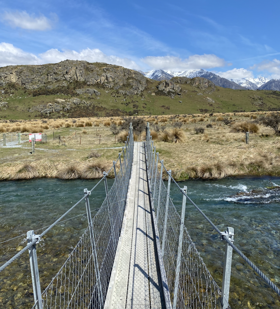
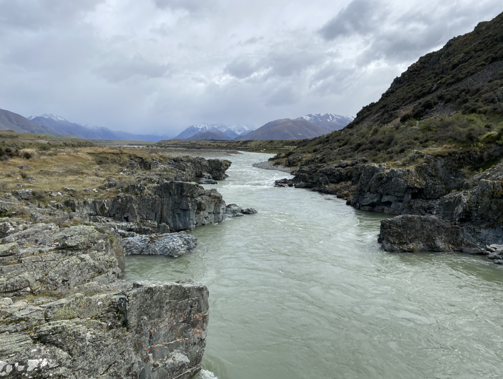
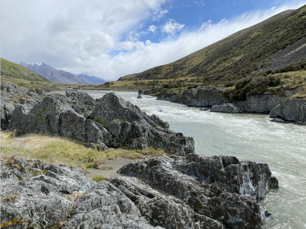
Ahuriri River Valley
Another windy day…hopefully it’s just a spring-time thing. I don’t feel like subjecting myself to yet another windy hike, so I decide to drive the scenic Ahuriri River Valley and take some (brief) photo stops. This small gorge, corralling the swift-moving water between dark banks, is the best part of the drive!


You May Also Like
1 Year of New Zealand Selfies: November & December
The Jurassic World of New Zealand’s North