Crash Course: All the History I Need to Get Started in New Zealand
A City of Volcanoes
A long time ago, the land mass of New Zealand was crowded together with all the other continents in a supercontinent called Pangea. Throughout millenniums, the New Zealand piece of that puzzle shifted and moved and hosted dinosaurs and sunk beneath the sea. But, New Zealand is located on the edges of the Australian and Pacific tectonic plates, so as the plates shift and move, and one plate slides beneath the other, the earth’s crust thins and magma bursts through where it can. So, New Zealand rose out of the waves.
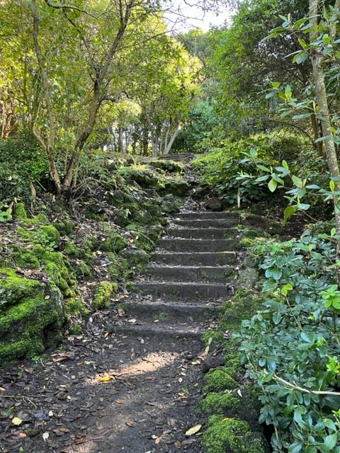
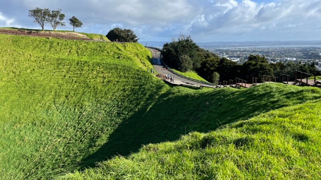
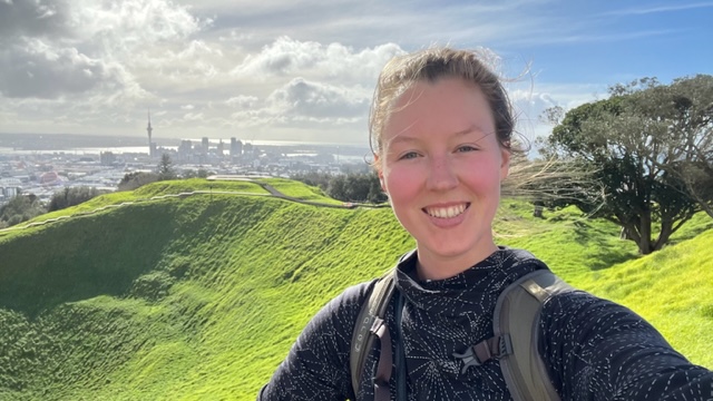
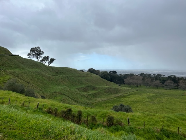
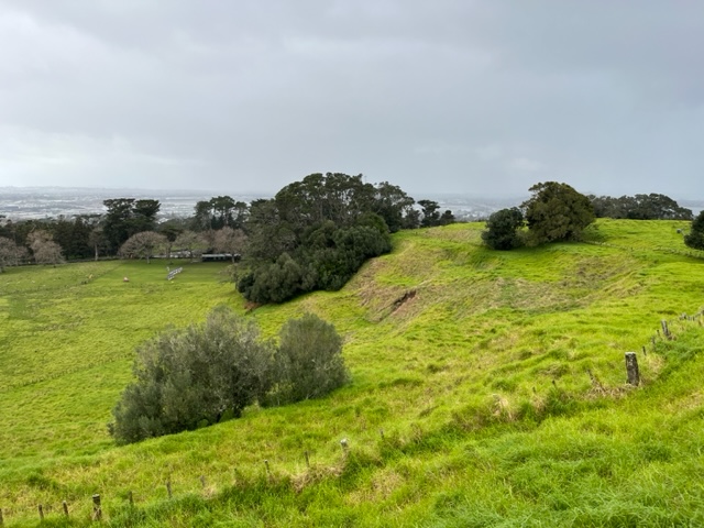
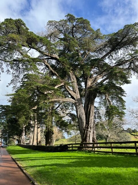
The Auckland Volcano Field, which holds Auckland city at its center, is home to 53 ancient volcanos. Unlike a volcano like Mount Ruapehu, which erupts from the same place, in the Auckland area, hot magma spewed from a new location every time. The steep streets and hilly walks (even buried beneath concrete and steel) are modern day memories of those violent explosions that newly shaped the land. Not all of these volcano have ben built over and eroded, though many have. For example, the War Memorial Museum in central Auckland sprawls across the smoothed-out top of one such ancient volcano. Yet, in many places, the volcanic hills and craters still poke green heads over the landscape. The first one I visited, fresh off the plane, was Mount Eden (Maungawhau). From the edge of the crater, looming over the city, I could spot several other green hills, the eroded bones of old volcanoes, rising above rooftops.
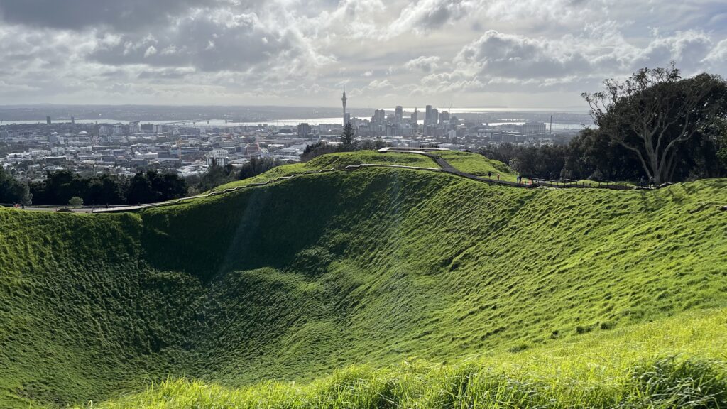
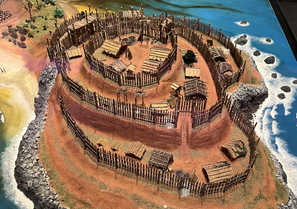
Another popular volcano walk is One Tree Hill (Maungakiekie). Like Mount Eden, it is covered in verdant grasses and trees, flora having reclaimed the fire mountain long ago. The Māori (New Zealand’s indigenous people) recognized the strategic position of building on high ground, so many volcanos in the Auckland area once sported fortified settlements, called pās.
What remains of these pās are shaped terraces sculpted from the sides of volcanoes and square pits. Once, fences lined each level and structures rested on the steps, with the most important buildings at the top. While the height of a volcano provides a vantage point for maximum visibility of the surrounding land and grants a strong defensive position, volcanic soil is also good for growing crops. Volcanic soil has important minerals and holds water really well. During many of my hikes, I’d step off the trail and the ground would give beneath my feet like a sponge. This did not only happen in low spots, but while scrambling up steep hills and even when standing atop them. Sometimes, the ground would look perfectly solid, and then my whole foot would sink in and water would swarm around my socks.
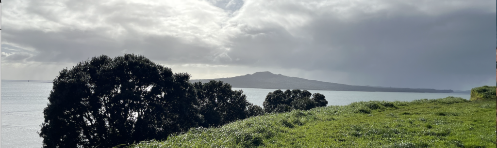
As the Māori lived upon old volcanoes, so does most of Auckland now. Of course, the Auckland Volcanic Field beneath is still active, still surging with magma miles down. In fact, only 600 years ago, Rangitoto Island rose from the sea when an underwater volcano erupted with violent fury. Today, Rangitoto Island is only a 20 minute ferry ride from downtown.
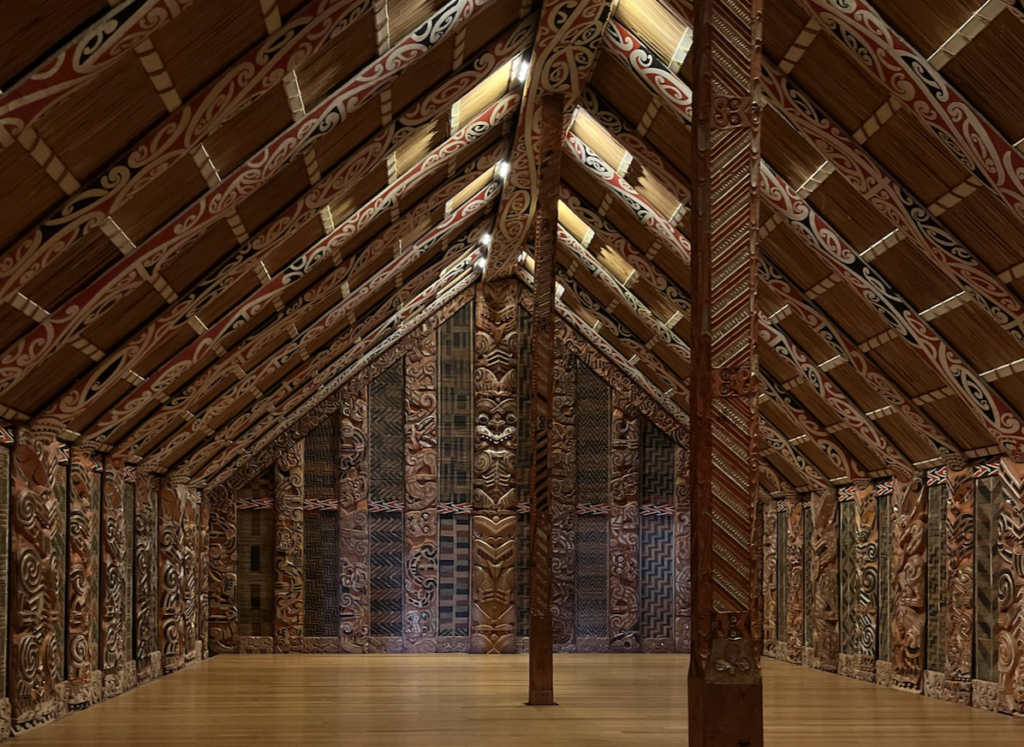
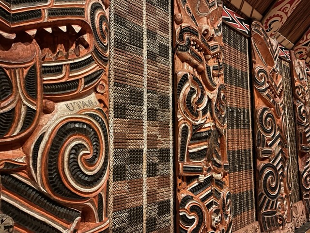
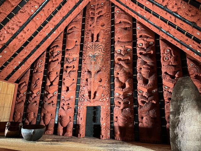
The Story of the Māori
(I didn’t visit the museum for nothing, people!)
The first encounter European explorers had with the Pacific Islands was in 1595 when a Spanish explorer came upon one of the Marquesas Islands (a grouping of islands on the outskirts of Tahiti).
For many years, Europeans were completely unaware of the existence of people in the Pacific. They didn’t even know there were thousands of islands, much less people living on many of them. This was mainly because of wind patterns and departure ports. Across the Pacific, the winds in the Northern Hemisphere follow a clockwise pattern, while in the southern hemisphere it’s counterclockwise. What this means is that wind around the equator (about 30 degrees north and south), generally blows to the west (with a slant), which is helpful to travelers attempting to cross the most prominent “landmark” on our earth. However, exactly around the equator the wind is weak and storms are common, so most ships avoided a strictly equatorial path. Additionally, from 30 to 60 degrees in both the south and the north, the wind blows toward the east. And the further south, the harder and fiercer it blows.
Because the Panama Canal was still a thing of the future, European explorers had to sail around either Africa or South America to reach the Pacific. Thus, because of these difficulties, most early explorers sailed the same route through the Pacific (heading north after rounding Cape Horn and then, once they picked up the wind, heading west).
This directed most ships past several tiny atolls in the Tuamotu Archipelago (I’d never heard of it before either). Atolls are basically flat, sandy beaches with some vegetation, that are often circular with a hole in the middle. Basically, an atoll is the last stage of an island’s life. It’s substance has sunk mostly beneath the waves and the coral once ringing it is now the majority of what remains. Many of the larger atolls were inhabited, and the explorers who encounter these people supposed that there must be a much greater landmass nearby, for how else could these people have gotten here?
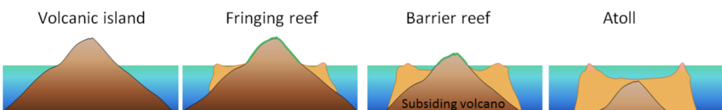
Diagram from Roger Williams University
This idea of a great southern landmass was not first hypothesized upon discovering these inhabited atolls. In fact, much of the European world had been convinced for quite some time that a vast southern landmass existed and they’d just never found it. This is because they believed the landmasses of the earth must be balanced. So, to account for all the land in the northern hemisphere, there must be something ginormous in the south to even the scales.
Many early European explorers were explicitly looking for such a landmass. Of course, they never found it.
New Zealand was first happened upon by outsiders in 1642 by Dutchman Abel Tasman. Rather than approach the Pacific from South America, as those previous had done so, Tasman took a different route. It makes no sense to me why he choose to do this because the Indian Ocean has it’s own counterclockwise wind patterns, which required a great deal of going the wrong way before he could go the right way. So, Tasman departed from Indonesia and sailed toward Africa, then south, then finally east. He went so far south that he missed Australia entirely and hit the island of Tasmania (named for him, of course).
Finally, he came upon the South Island of New Zealand. He knew it was inhabited because first his crew spotted smoke, then the Māori rowed out in boats. At some point, violence ensued, as often happened between indigenous and early explorers. Tasman sailed north up the coast, looking for a good place to land, but the Māori kept him away at every point. Eventually he sailed between the North and South Island and into the Pacific, never realizing the North Island existed. Instead, Tasman figured he’d seen a piece of the unknown southern continent they were all searching for.
Many of the Pacific Islands were still “undiscovered” by 1722, but the question of how these people could have gotten to these islands was a perplexing one. As ocean navigation had been a recent discovery for Europeans, one explorer deemed it impossible that the indigenous people could have sailed such distances. He was left supposing that they had simply been created upon their islands by God.
Finally, in 1768, Captain James Cook set out from London. An expedition returning only a few months prior had just “discovered” the island of Tahiti, so that was Cook’s destination. He stayed in Tahiti for months, developing a good relationship with the indigenous, and when he left, a Tahitian man asked to accompany him.
Later, when Cook landed in New Zealand and came ashore, the Māori surrounded him and prepared for conflict. Then, the Tahitian man stepped forward and spoke Tahitian. And the Māori understood.
Cook undertook two other expeditions throughout the Pacific, landing in Easter Island, Tonga, and many others, including, at the end, “discovering” Hawaii.
Cook was the first outsider to truly experience the vastness of the Polynesian Triangle. While others had noted the similarities of the people across all the islands, it was Cook who seemed to put it all together. He had three convincing pieces of evidence for all the Pacfic Islanders being related somewhere down the line. The first, their appearance: black-hair, brownish gold-skin, tall and strong. Second: similarities in their tools, clothes, and structures. And finally: the language.
English: Person
Māori: Tangata
Tongoan: Tangata
Samoan: Tagata
Hawaiian: Kanaka
Tahitian: Ta’ata
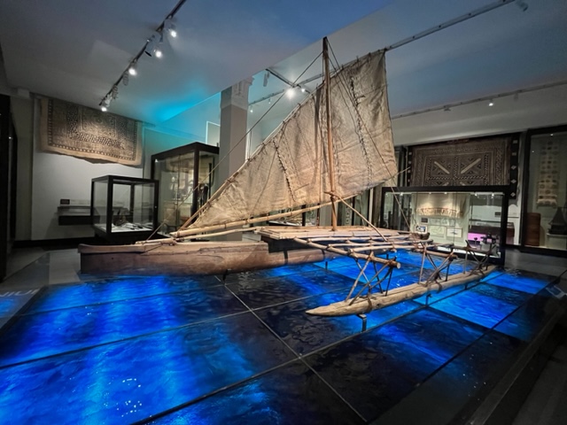
Even as the shared ancestry of the Polynesians became more and more apparent, no one could understand how they had traveled such great distances and spread so far using ancient means of navigation.
In fact, in the mid 1900s, one scholar theorized that it couldn’t possibly have been skill and that the Polynesians had simply been in the area long enough that they’d been blown off course enough times or drifted to all the islands. Then, in the late 1900s, two things happened. The first: several people sought out Polynesian navigators, learned everything they could over the course of many years, and then set out to sail ancient routes using those ancient navigation techniques, such as following star paths, understanding the behavior of different species of ocean birds, cloud movements over land versus over sea, underwater lightning, and navigating by the swells of the ocean. And it worked.
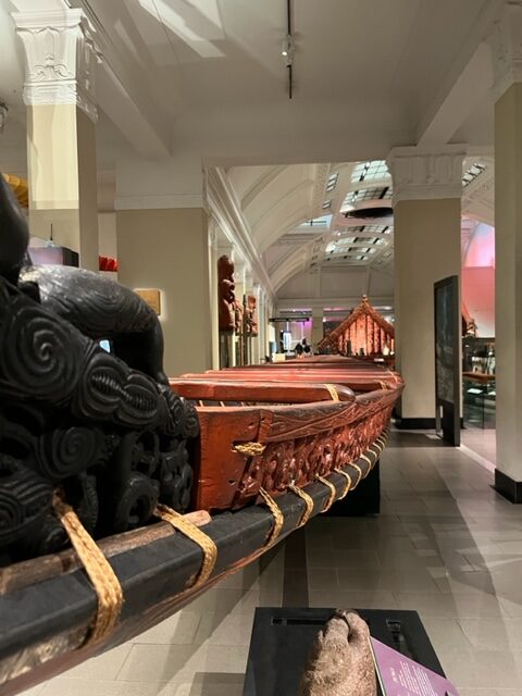
The second: the discovery of pottery shards across many of the Polynesian islands, with the oldest shards found in the Bismarck Archipelago (which is off the coast of Papua New Guinea, such as New Britain and the Solomon Islands). With carbon dating, a timeline was finally proven for the expansion of the Polynesians, as well as the route of their spread. The first pottery shards in the Bismarck Archipelago are dated to 3000 B.C. About 2,000 years later, Polynesians began to expand eastward, traveling to and settling in islands that can each been seen from the one before. Then, their journeys grew longer, their navigation skills more incredible. Explorers reached Hawaii about 900 years ago and New Zealand 800 years ago.
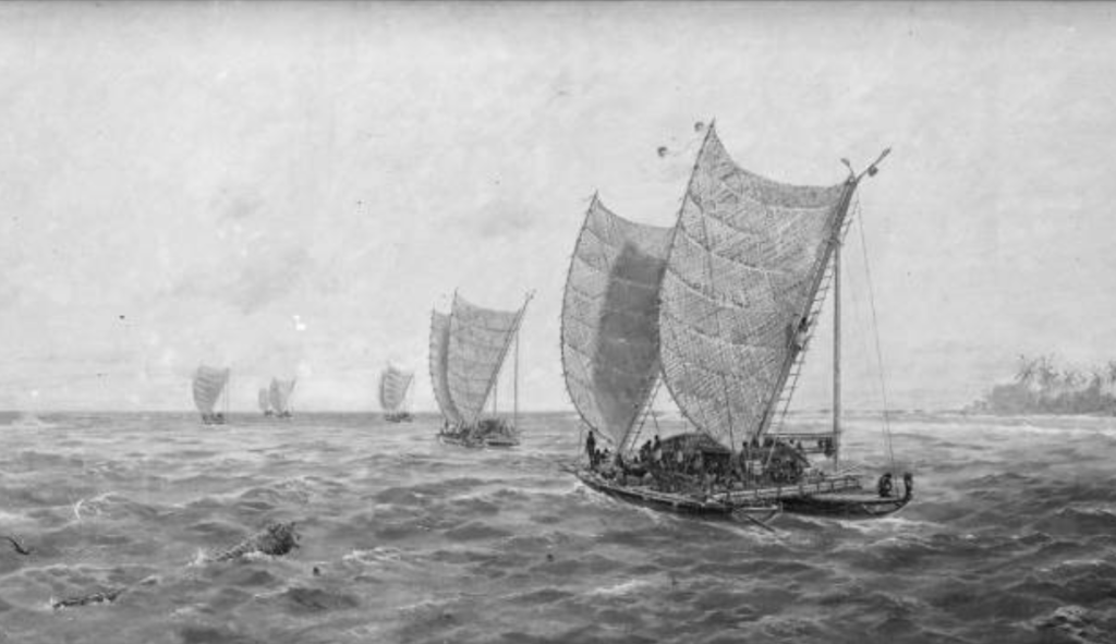
Drawing is “Departure of the Six Canoes from Rarotonga for New Zealand” by Kennett Watkins, 1906, Auckland Council Libraries
Personal Update
For those of you wondering how I’m doing… Well, I’ve been learning a lot of cool history, so that’s thrilling!
But… I’m feeling unbalanced. As though I’m existing in limbo. I was scheduled to take a ferry on July 2 to Great Barrier Island. However, it was canceled a few hours before departure due to bad weather.
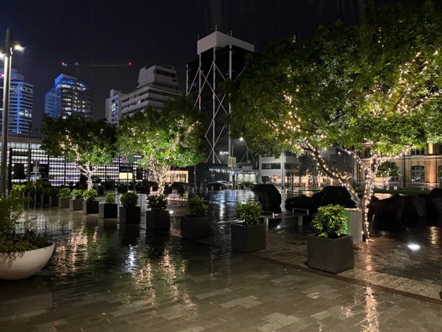
And, the ferry has still not been rescheduled, so I have a lot more time in Auckland than I planned. This is not a problem. I’m not a huge fan of big cities, but I can make the most of them. The problem is that every day I wait and wait to see if the ferry will be scheduled for the next day, and I wonder how much notice they’ll give me if it is. Will I wake up one morning and see that the ferry is leaving in half an hour?
So I’ve been constantly checking my email. And, with the inability to plan ahead, I’ve felt somewhat adrift. Of course, this is exacerbated by the rain.
People say Colorado has changeable weather, and it sometimes does. But I have never encountered more temperamental weather than I have during these days in Auckland. Blue skies reign, until the sun gets blotted out and instantly raindrops begin to fall. Then it turns into a cascade. I’ve encountered enough of these storms in the past few days that I know I probably just need to wait it out, but the rain keeps coming and the wind picks up and it seems like it will never end. For as far as the eye can see, the sky is thick grey clouds with no hint of the winter sun. Then, five minutes later, the sun pops out, the rain lets loose a few final drops. And it’s gone, as though it never was.
Only to be repeated again in an hour and a half. Wash. Rinse. Repeat. All day.
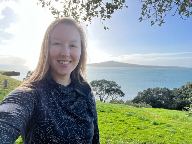
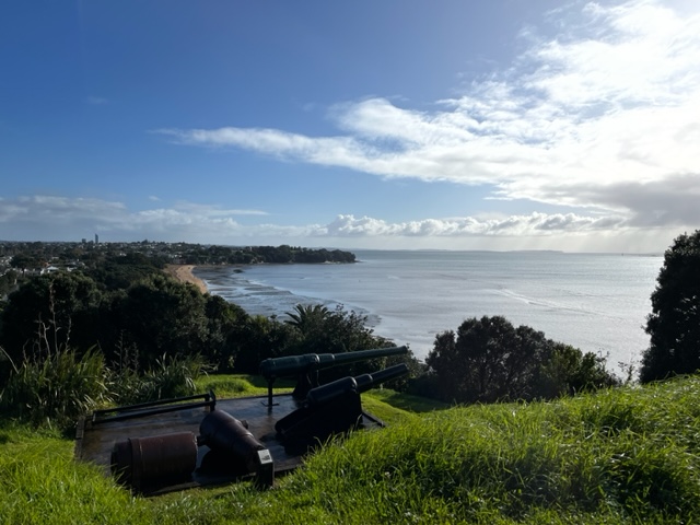
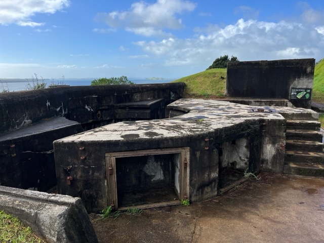
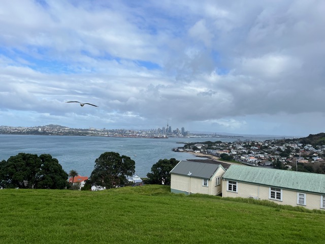
However, I’ve still gotten around (with my rain coat in tow). In addition to the two volcanos I visited, I explored North Head (Maungauika), which was one of New Zealand’s largest military defenses during the 20th century. A beautiful walk, it’s also lined with old batteries for big guns and underground buildings where soldiers rested and gunpowder and ammo were stored.
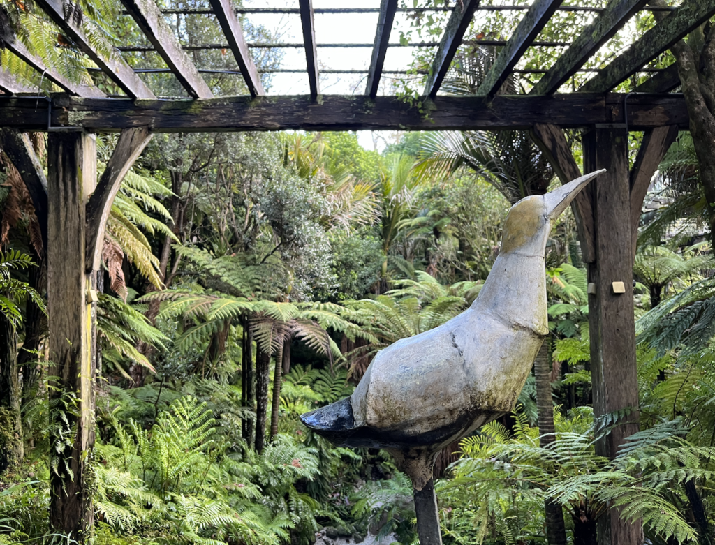
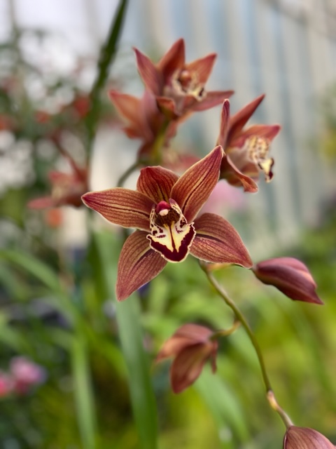
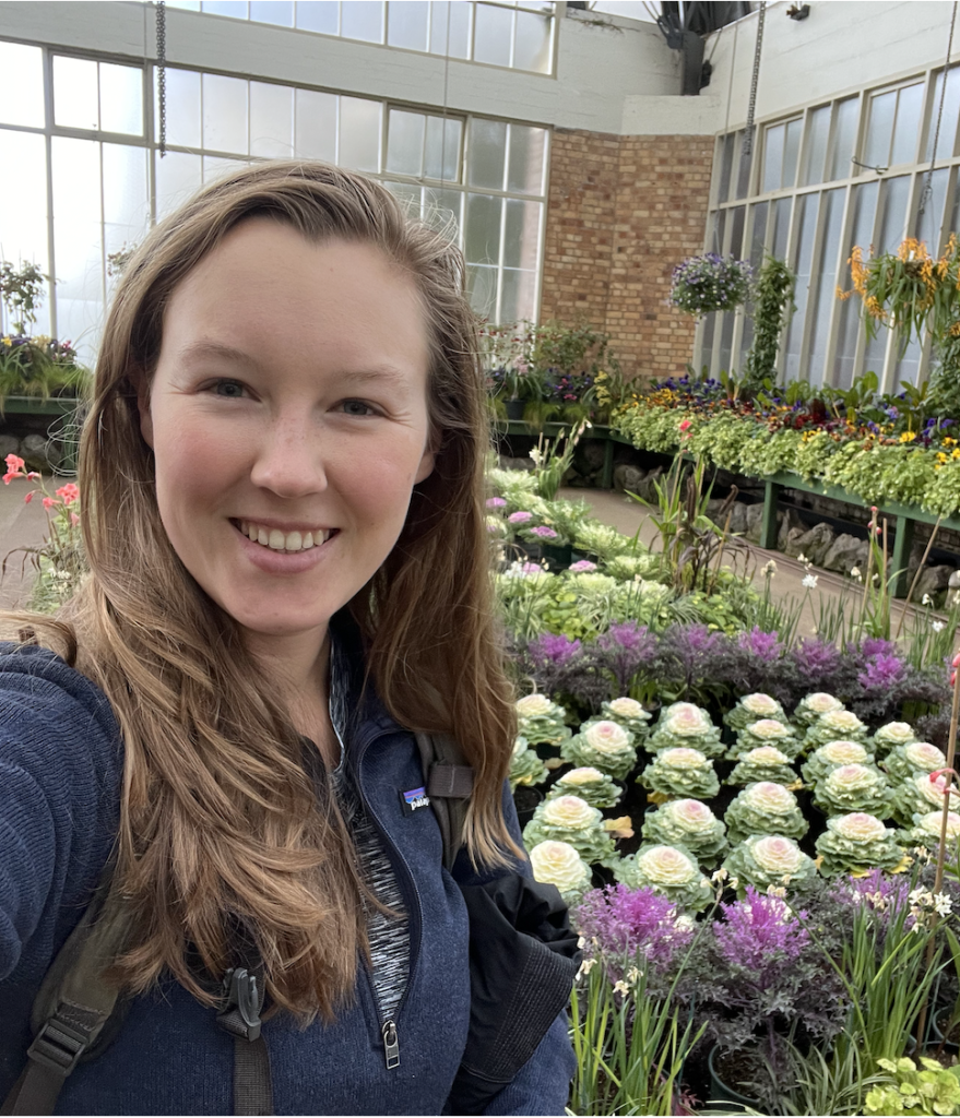
I spent a rainy afternoon wandering the indoor and outdoor offerings at the Auckland Domain Wintergardens.
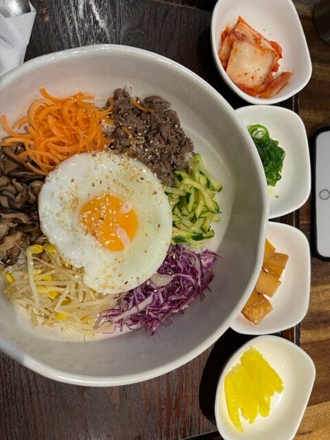
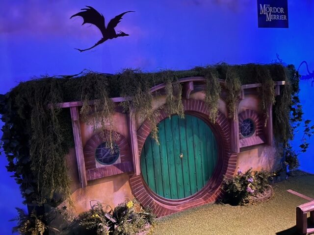
I’ve also gotten very familiar with the Auckland City Library, eaten a lot of delicious food, played mini golf at a bar (with a Hobbiton themed hole), and wandered up and down the verdant streets.
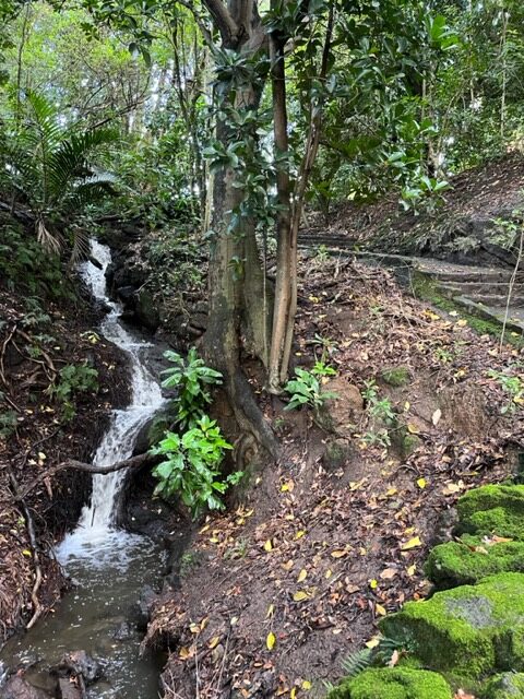
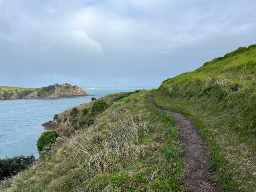
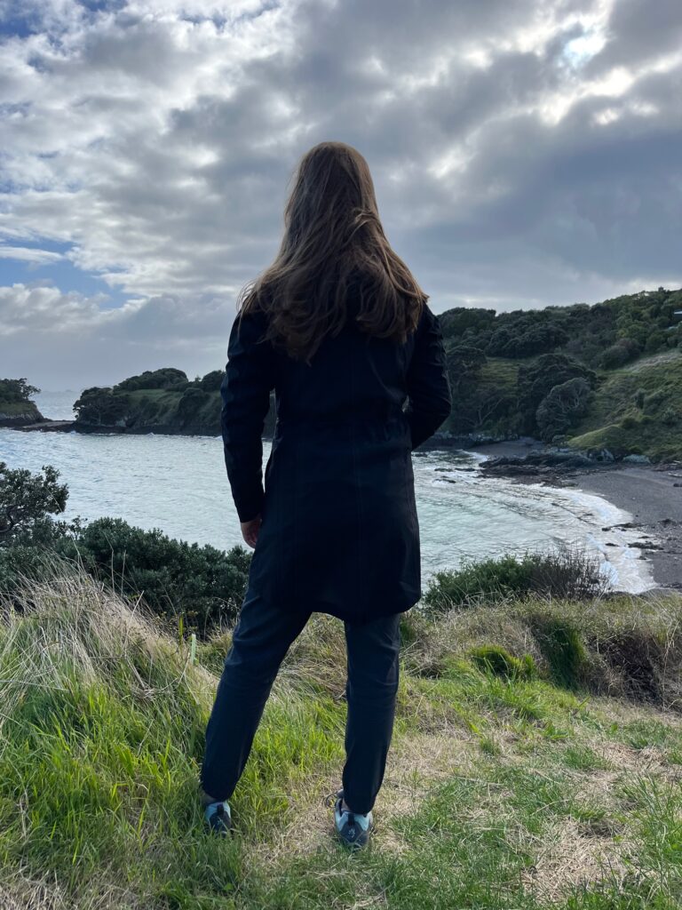
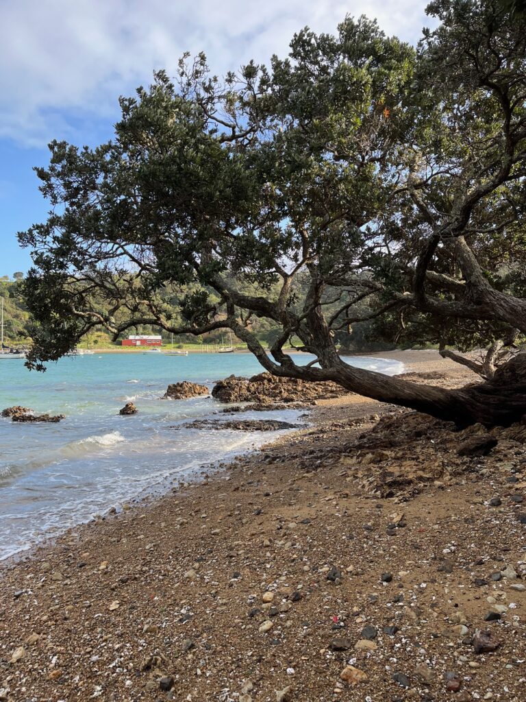
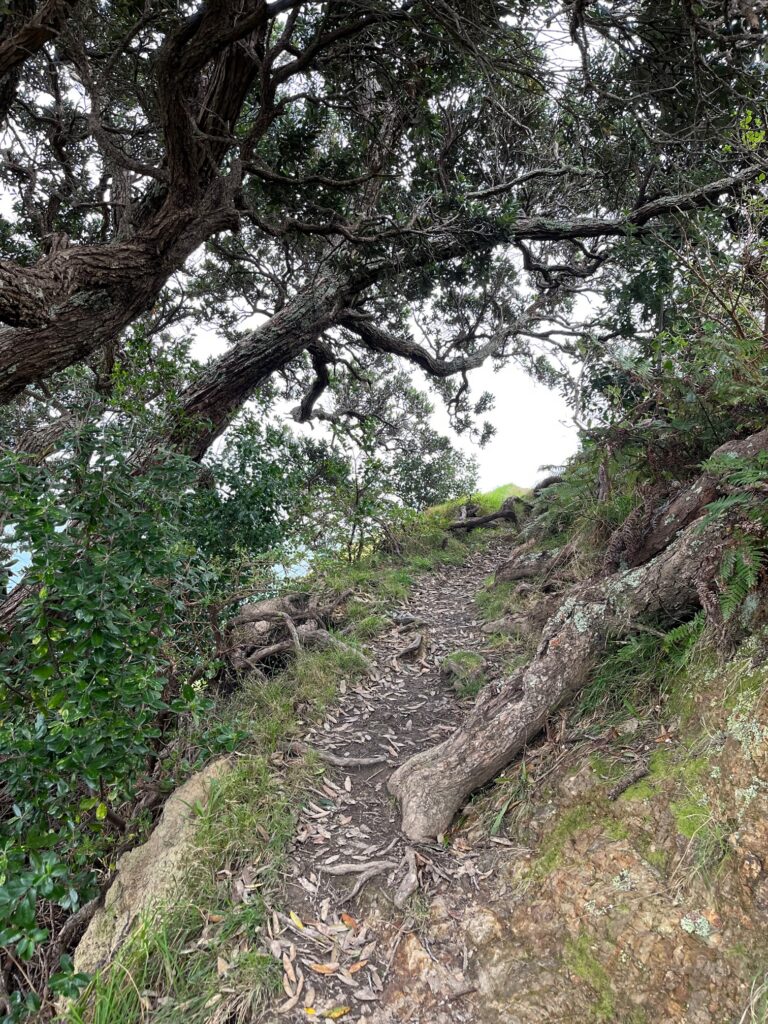
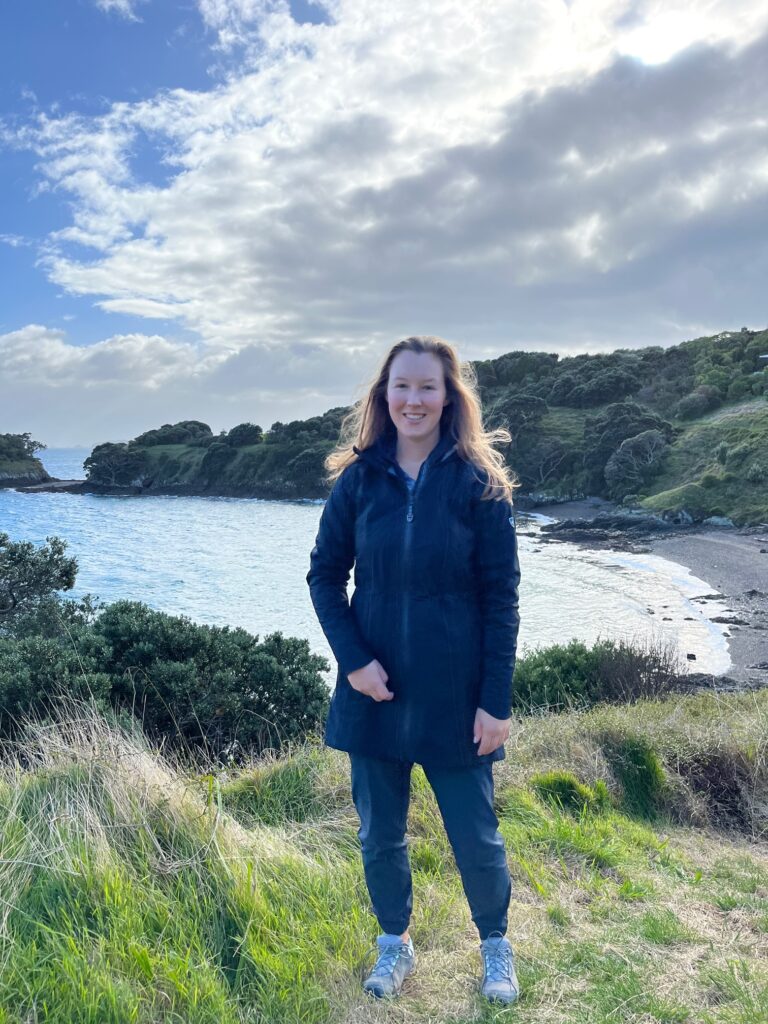
And, last but not least, I went over to Waiheke Island and did a (muddy) coastal hike.
Keep your fingers crossed for me that the ferry gets rescheduled soon!


2 Comments
Rosie Terborg
Maddie, I want you as my history teacher! You and Uncle Jerry Ver Meer would make a great history department at a prestigious university! Praying for the ferry!! Love you!
Aunt Rosie
Maddie
Thanks Aunt Rosie!